P ost O ak P reserve: Trash Report for NTMN

P ost O ak P reserve
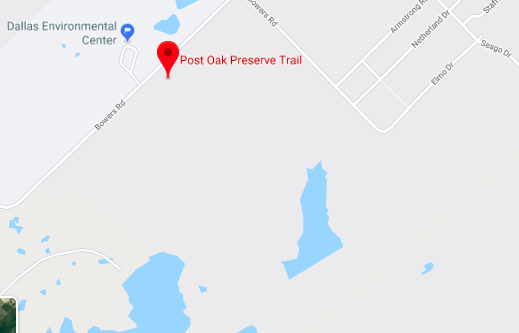
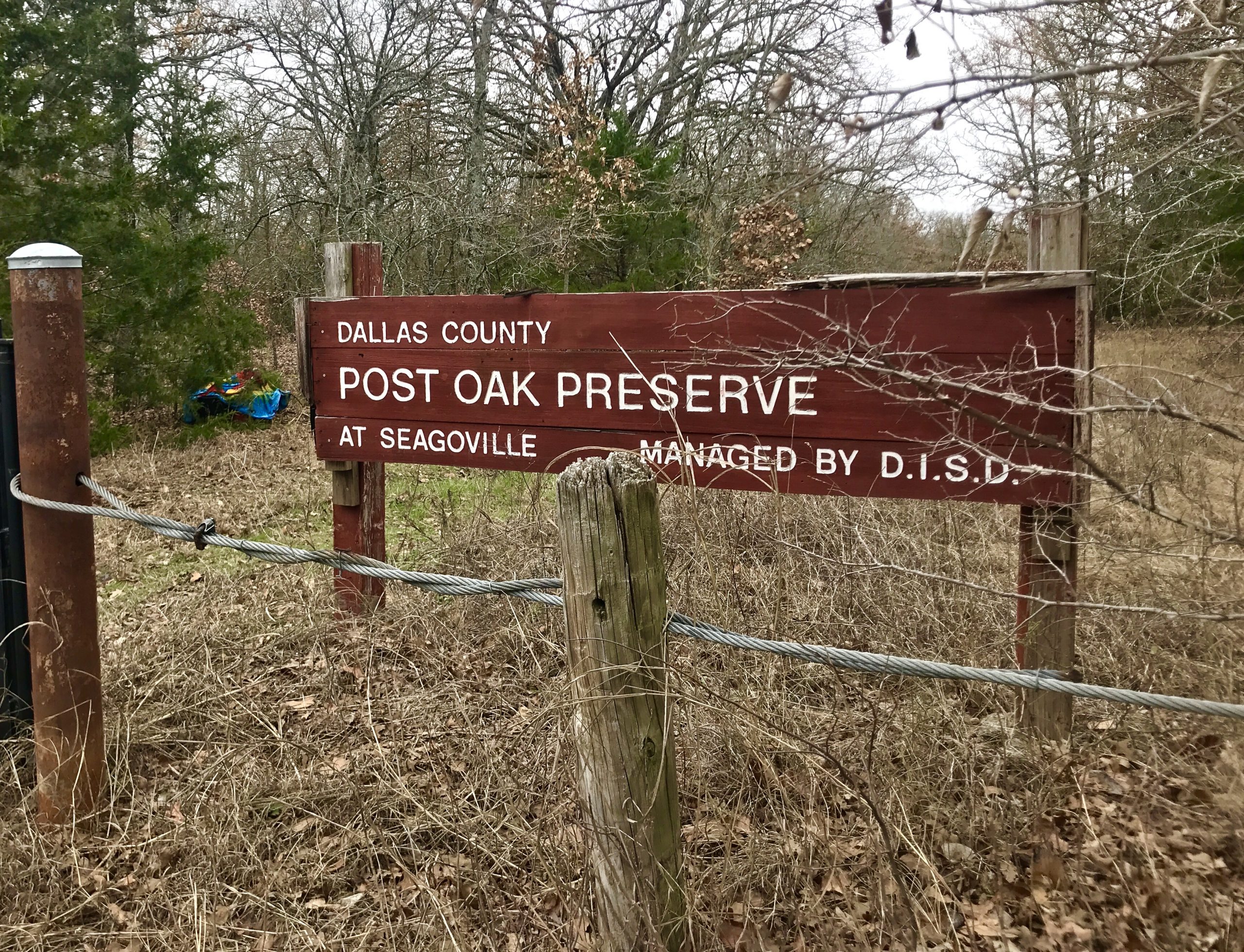
Address: 1501 Bowers Road, Seagoville, Texas
Trail issues page
TRASH ISSUES
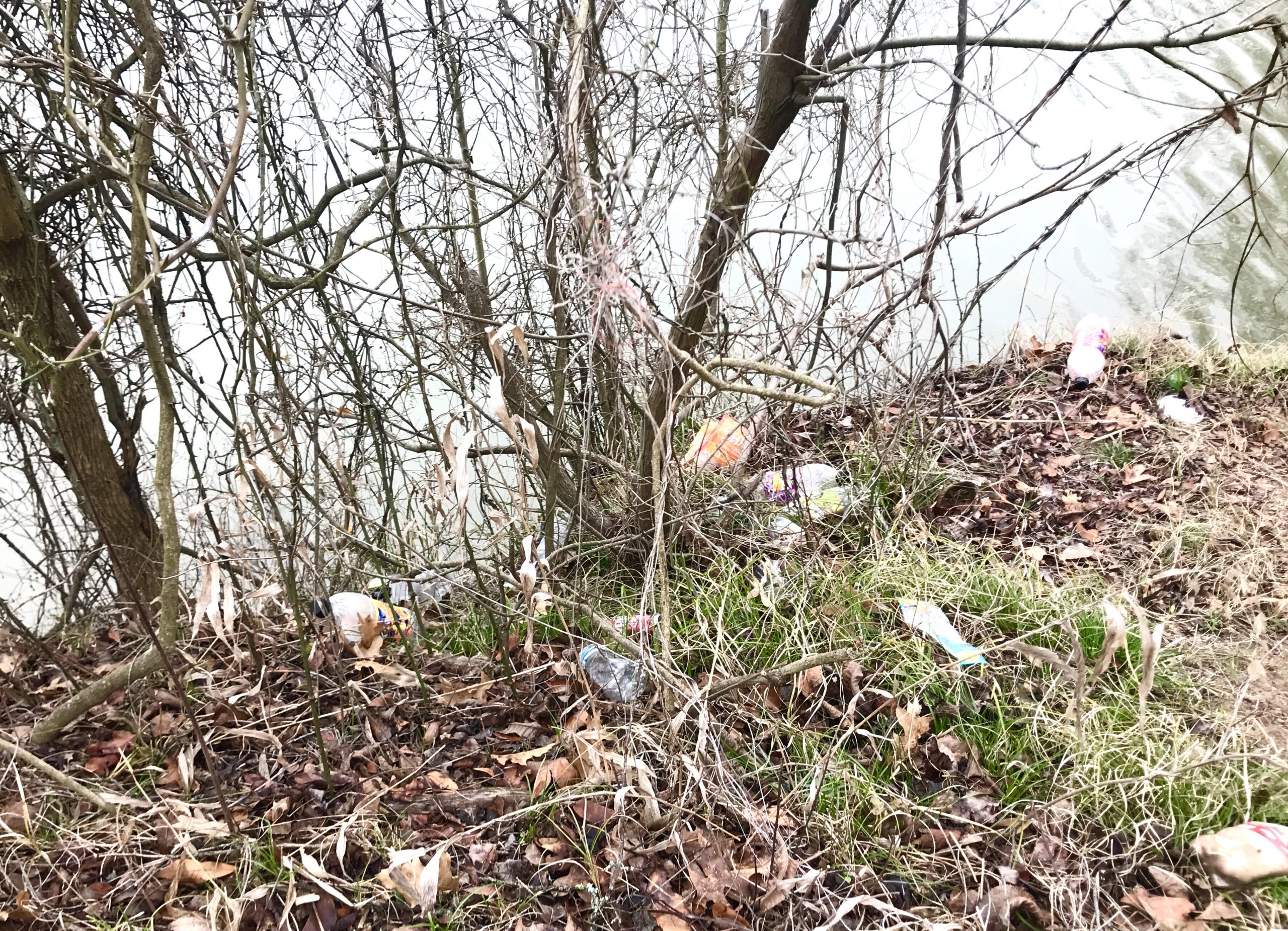
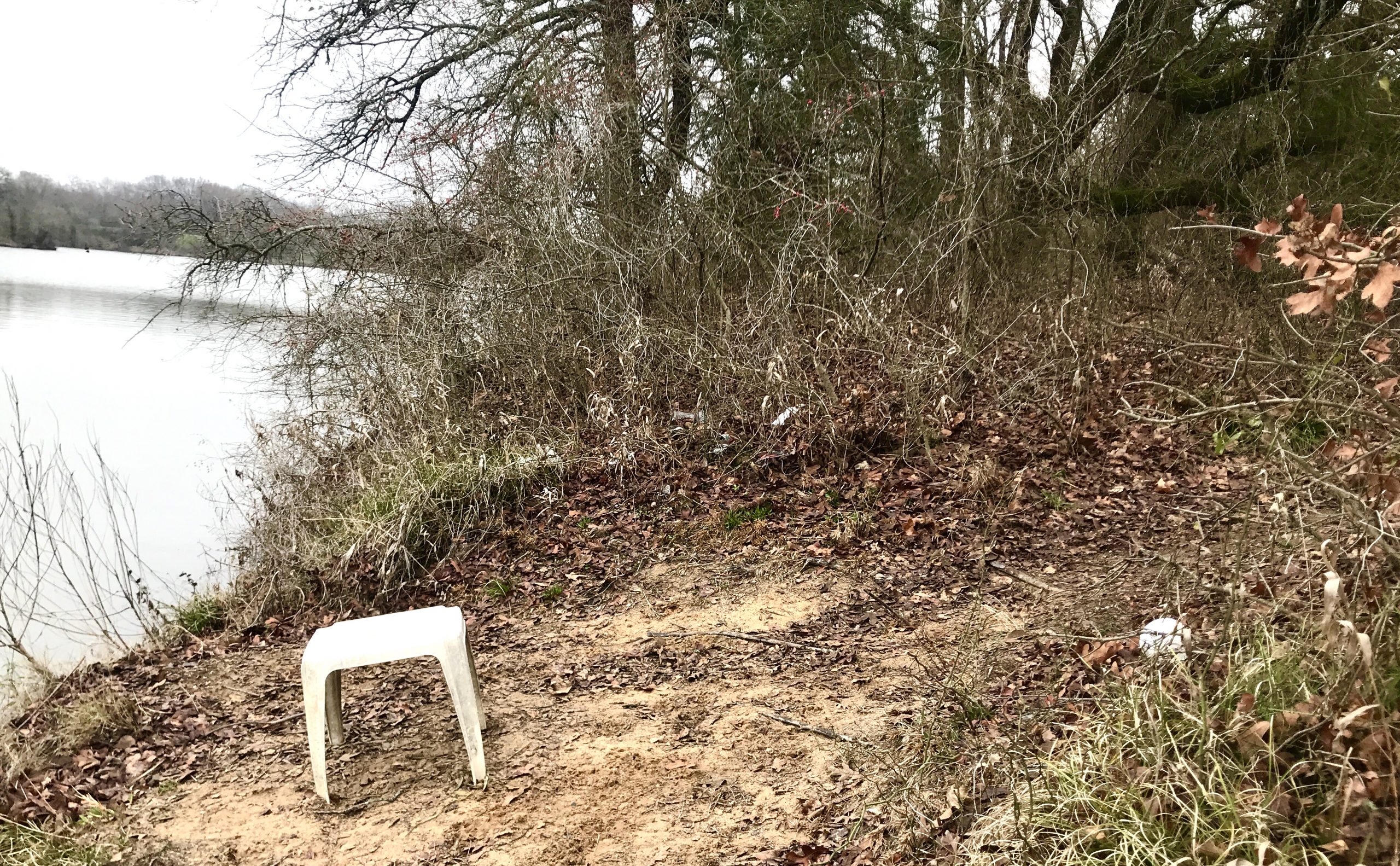
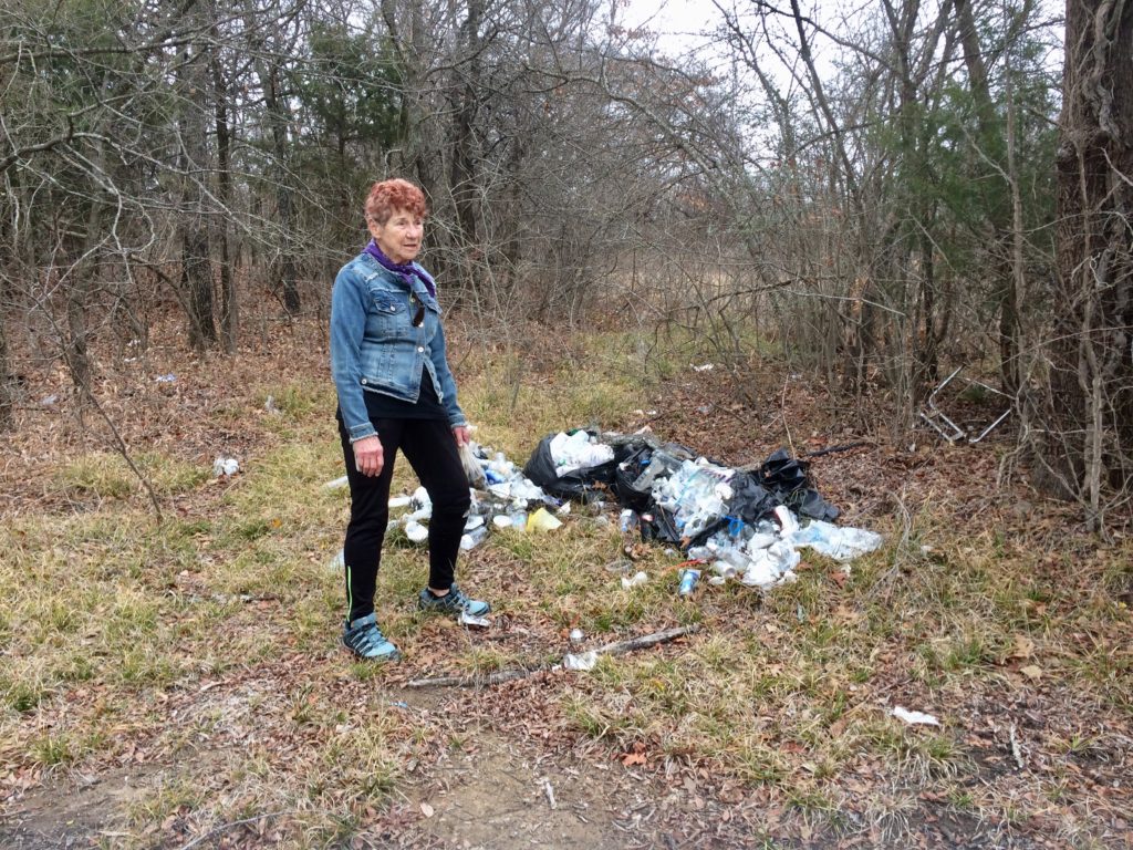
- Extensive trash on western lakeshore where fishing aficionados gather. No trash receptacles or no-littering signs provided.
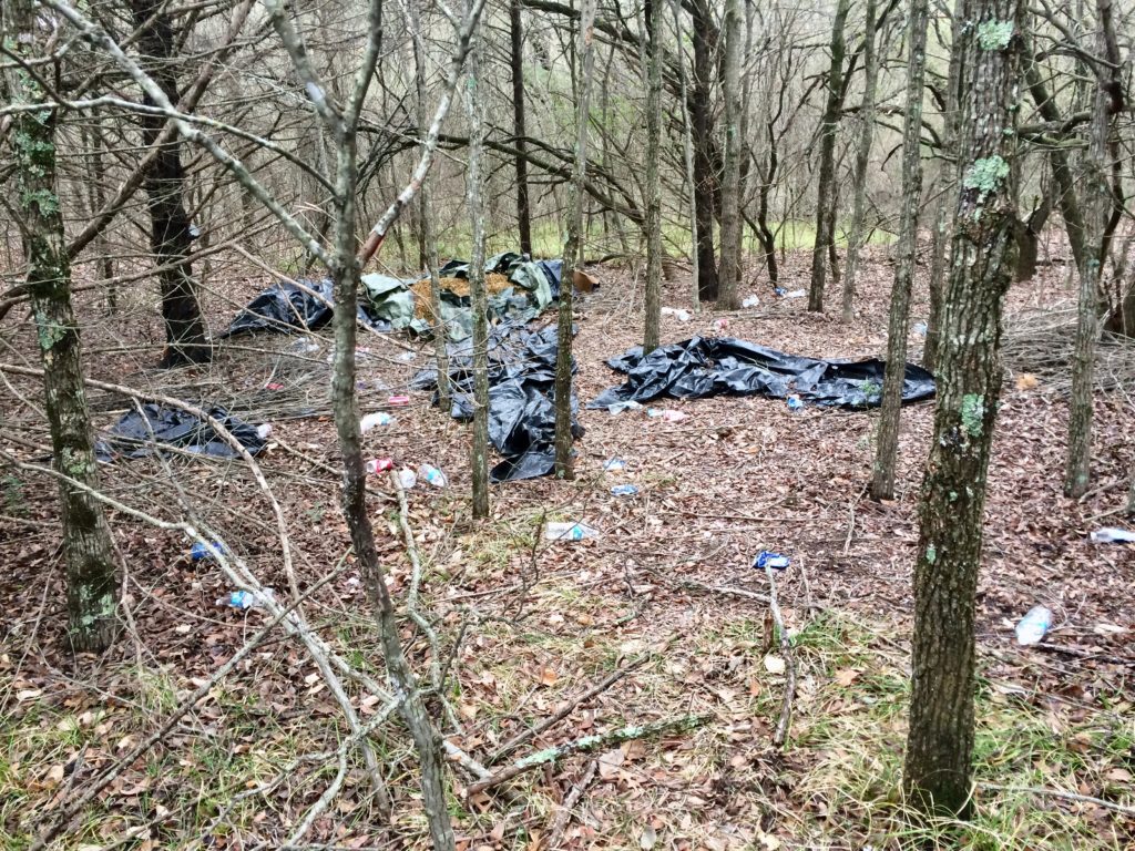
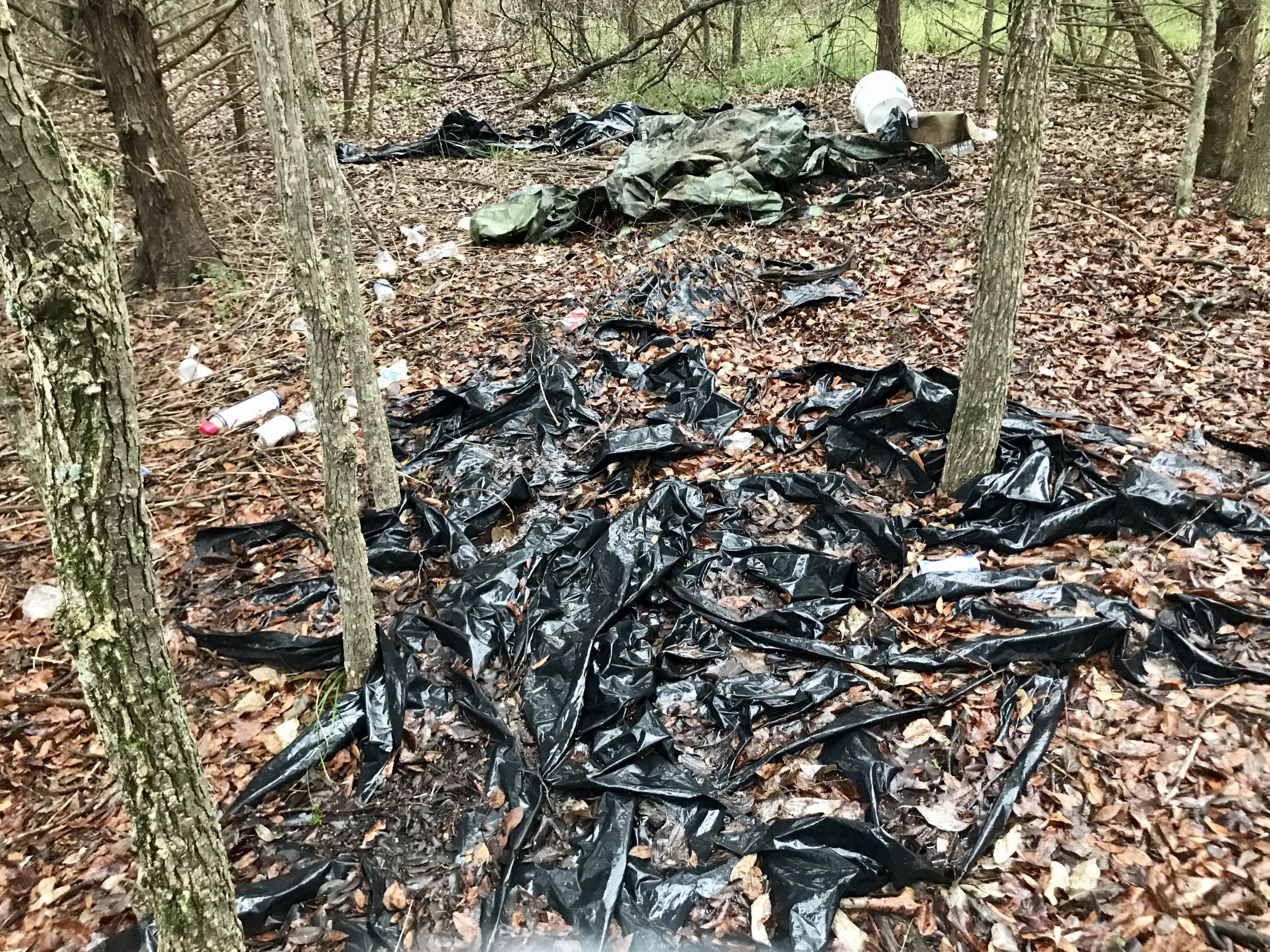
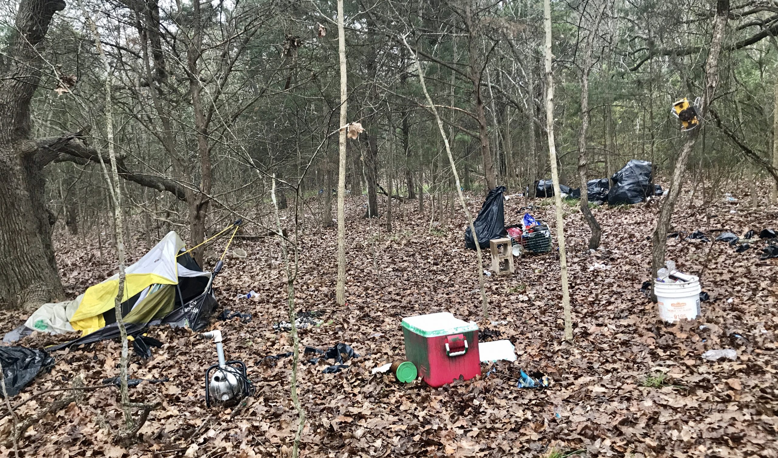
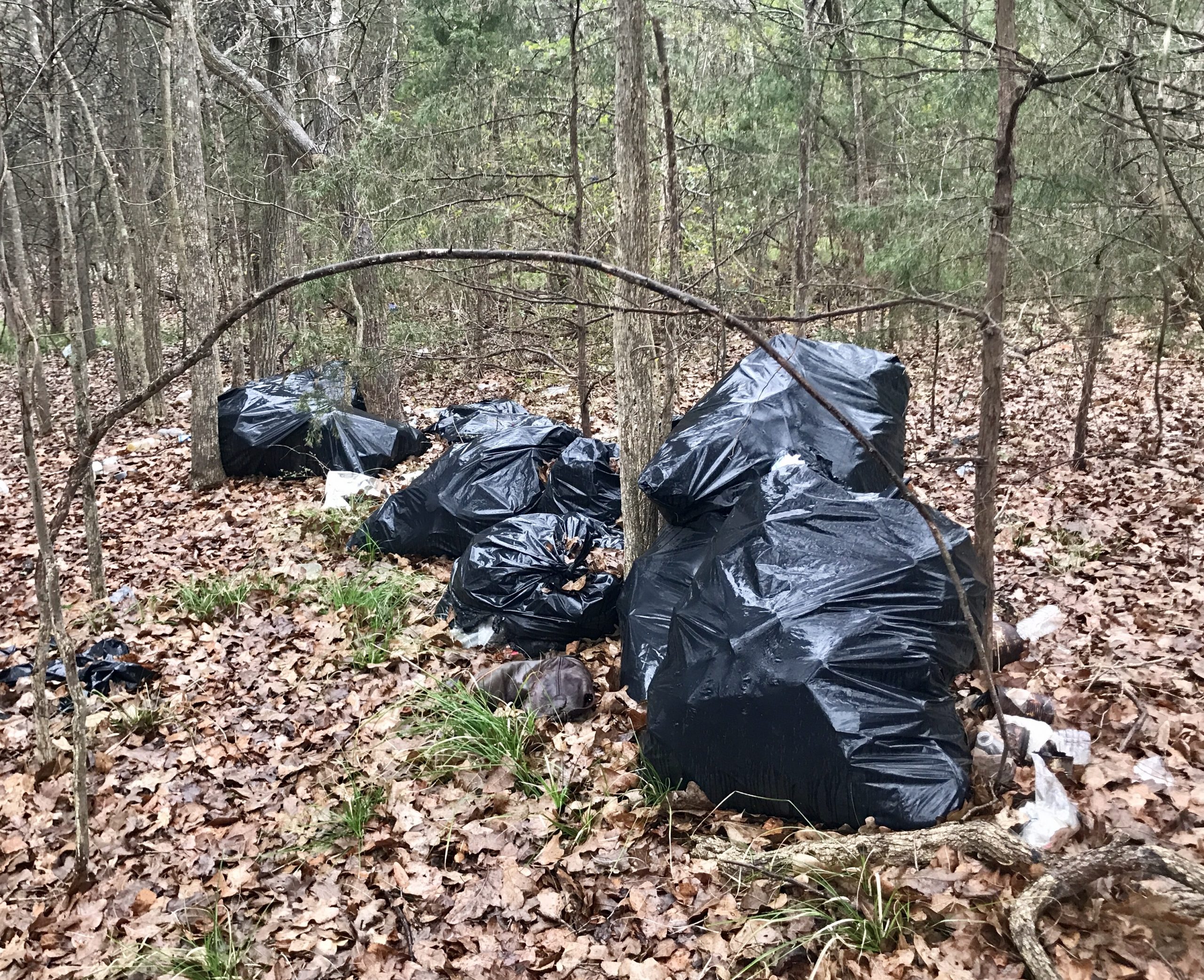
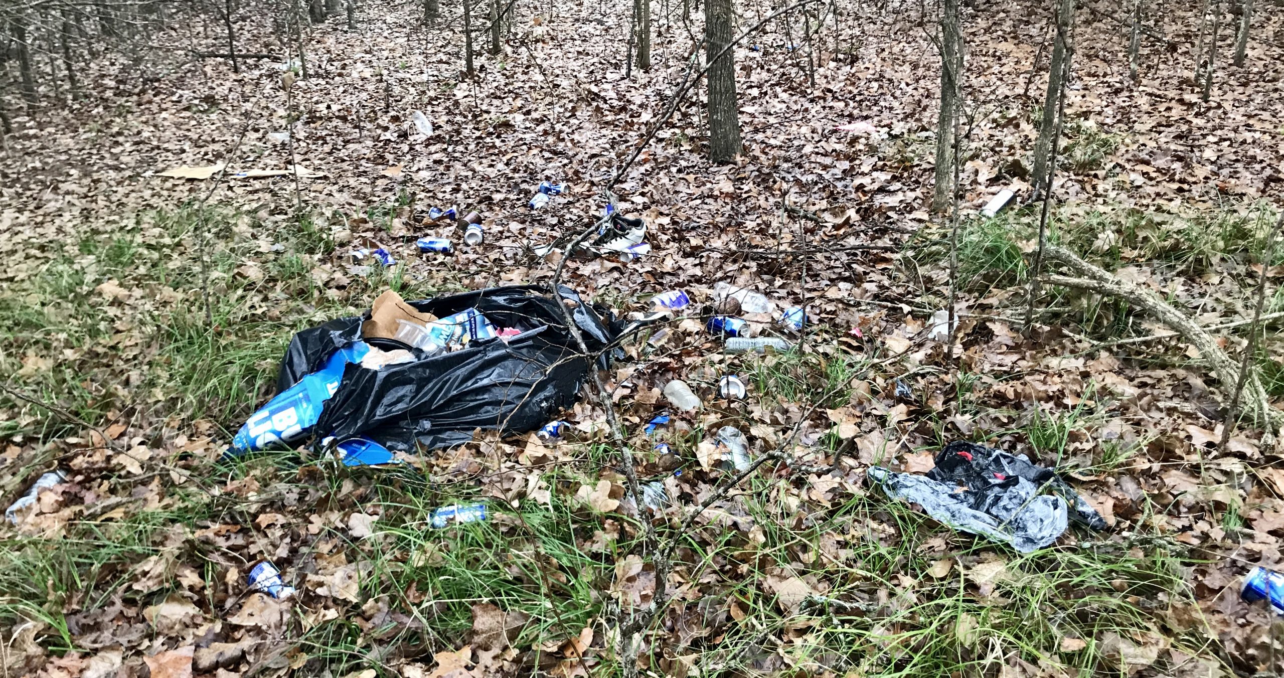
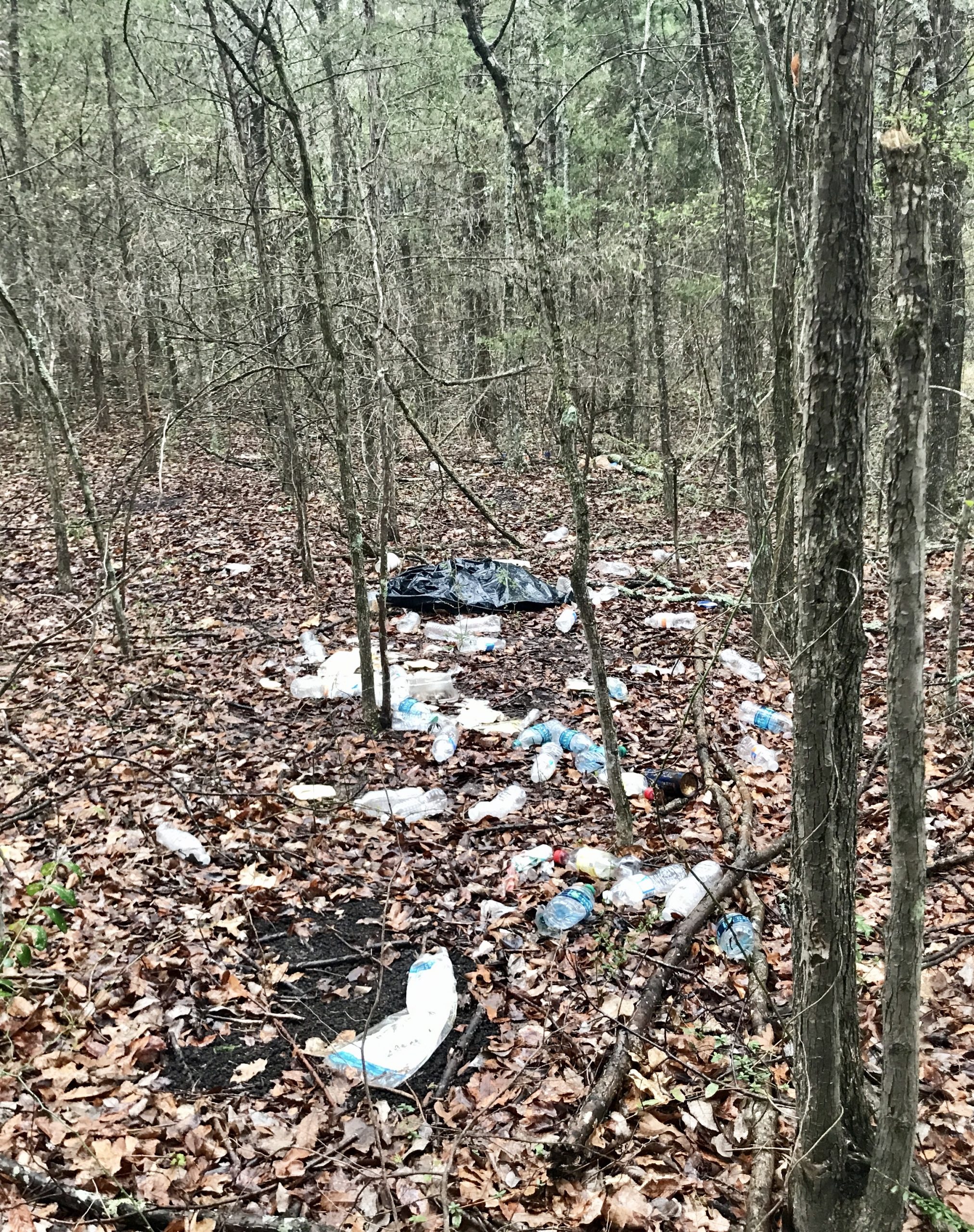
- Encampments used for drinking parties, temporary housing, and even marijuana cultivation and processing east of lake generate general trash from food and beverage, plus large-scale refuse including tarps, plastic chairs, and tents. These encampments are alarming for off-trail hikers and naturalists to encounter.
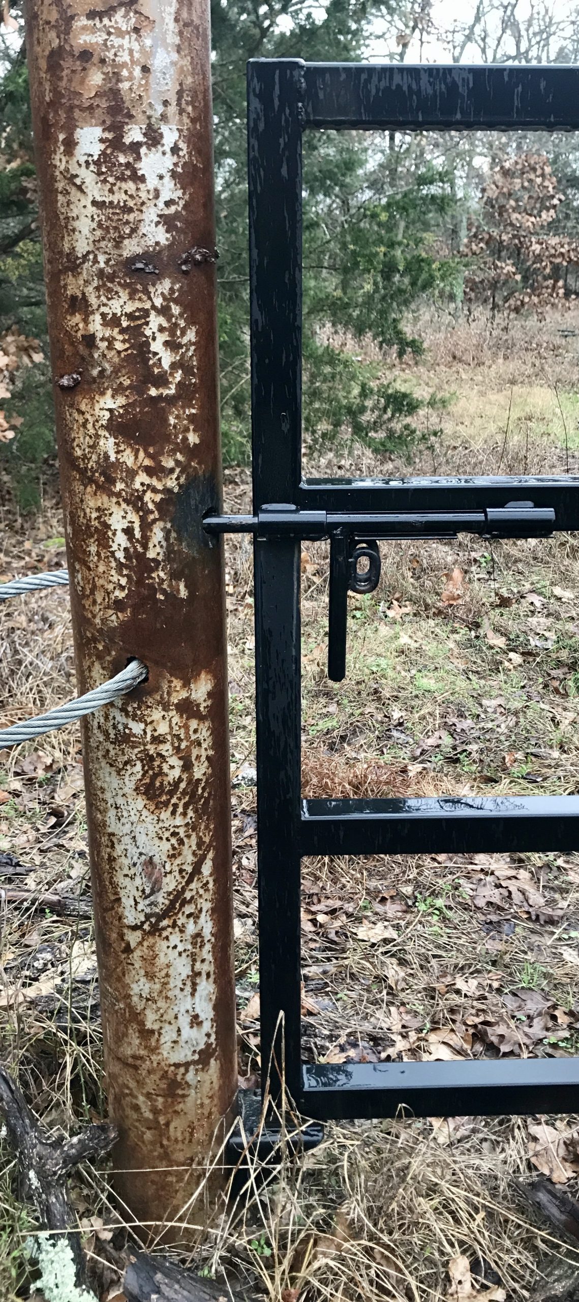
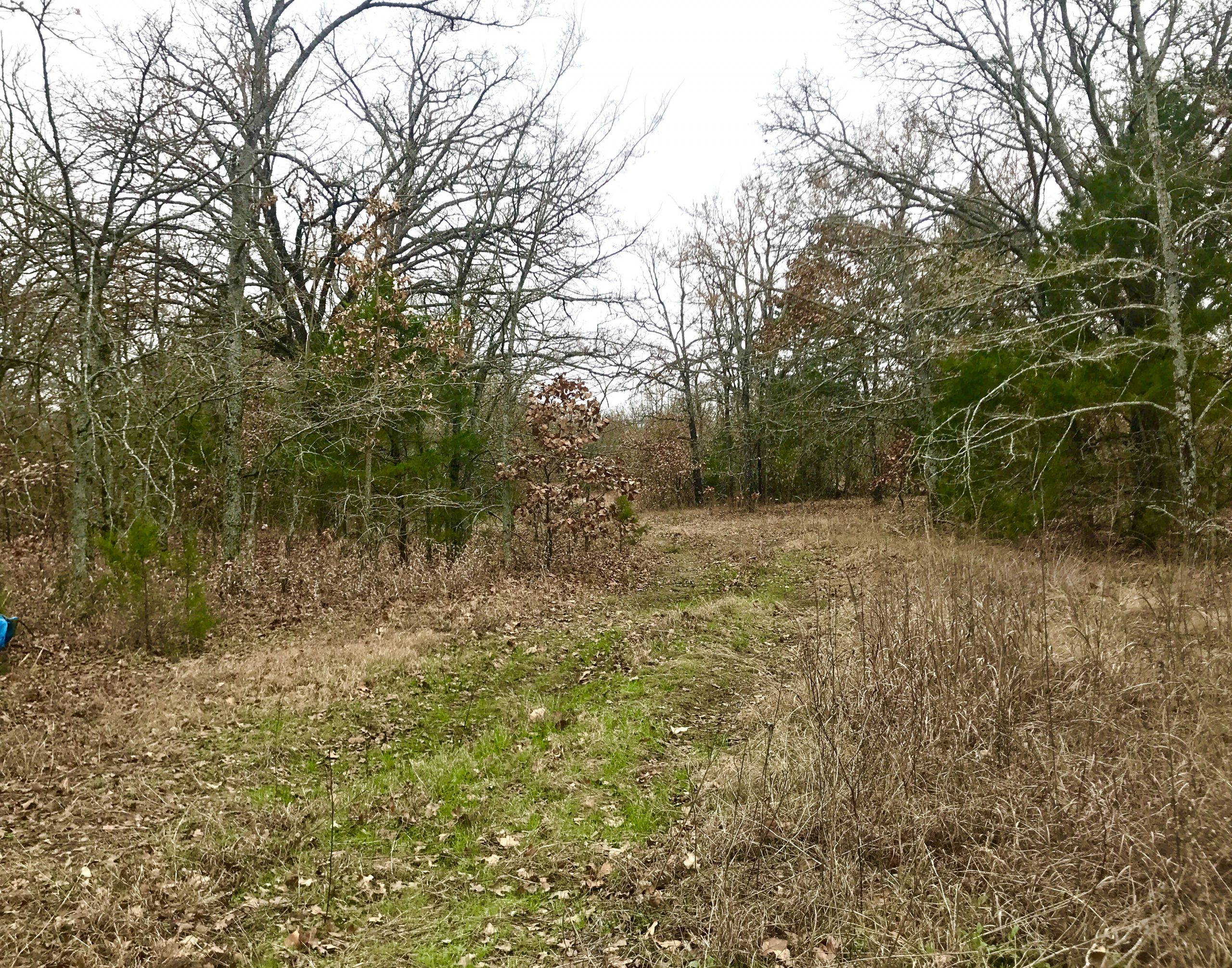
- Illicit campers seem to use a signed preserve entrance of a NW-to-SE section of Seago Dr. The lock to the gate has been removed and an old road extends .75 mile almost all the way to the lake.
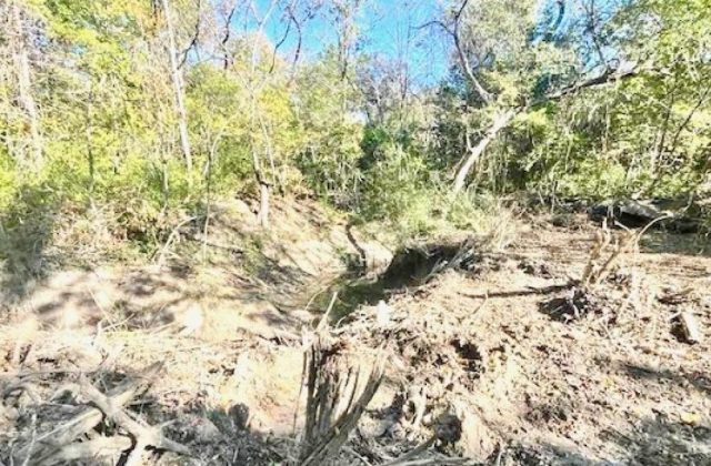
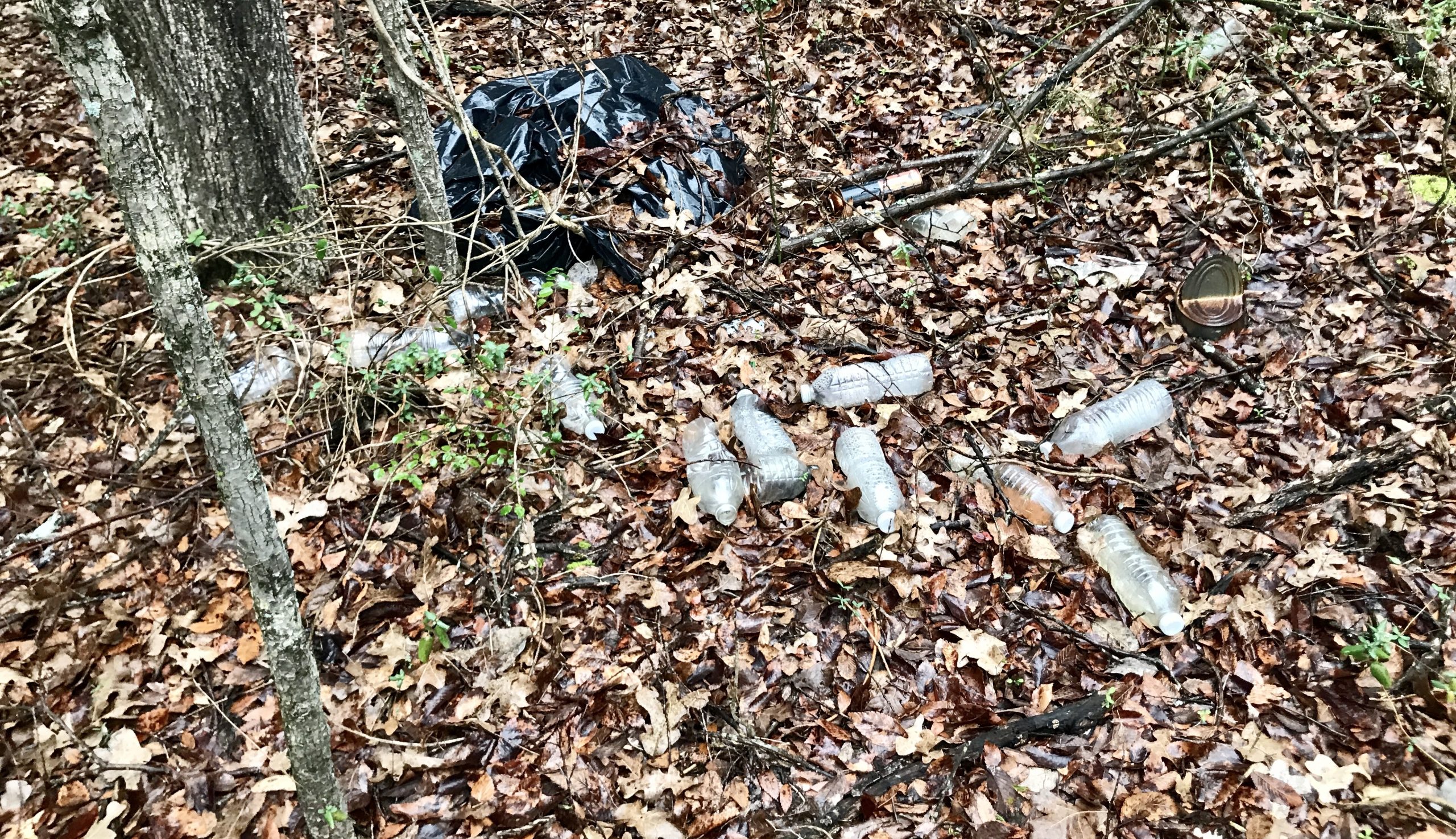
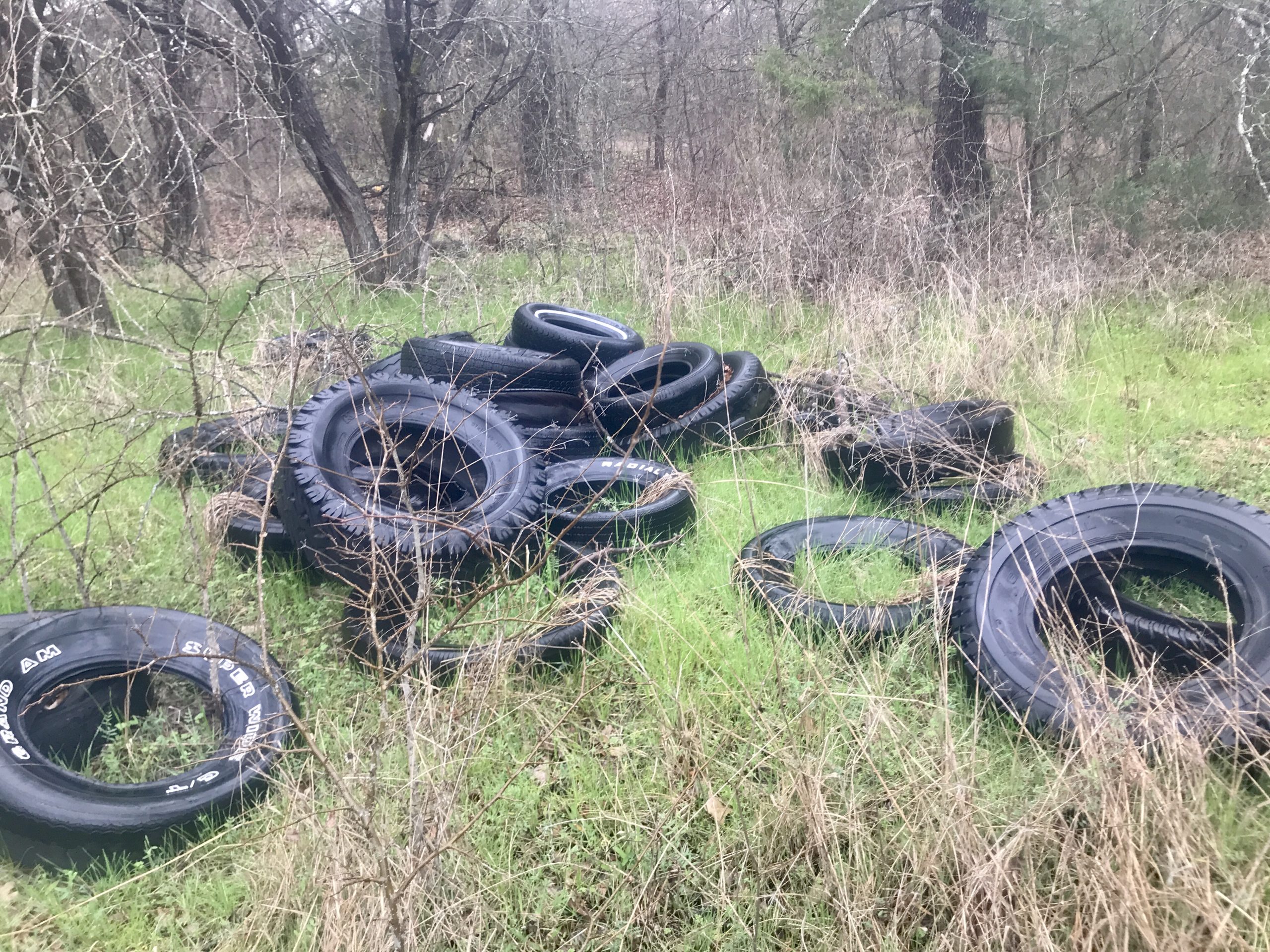
TRASH: Main trail & lakeside

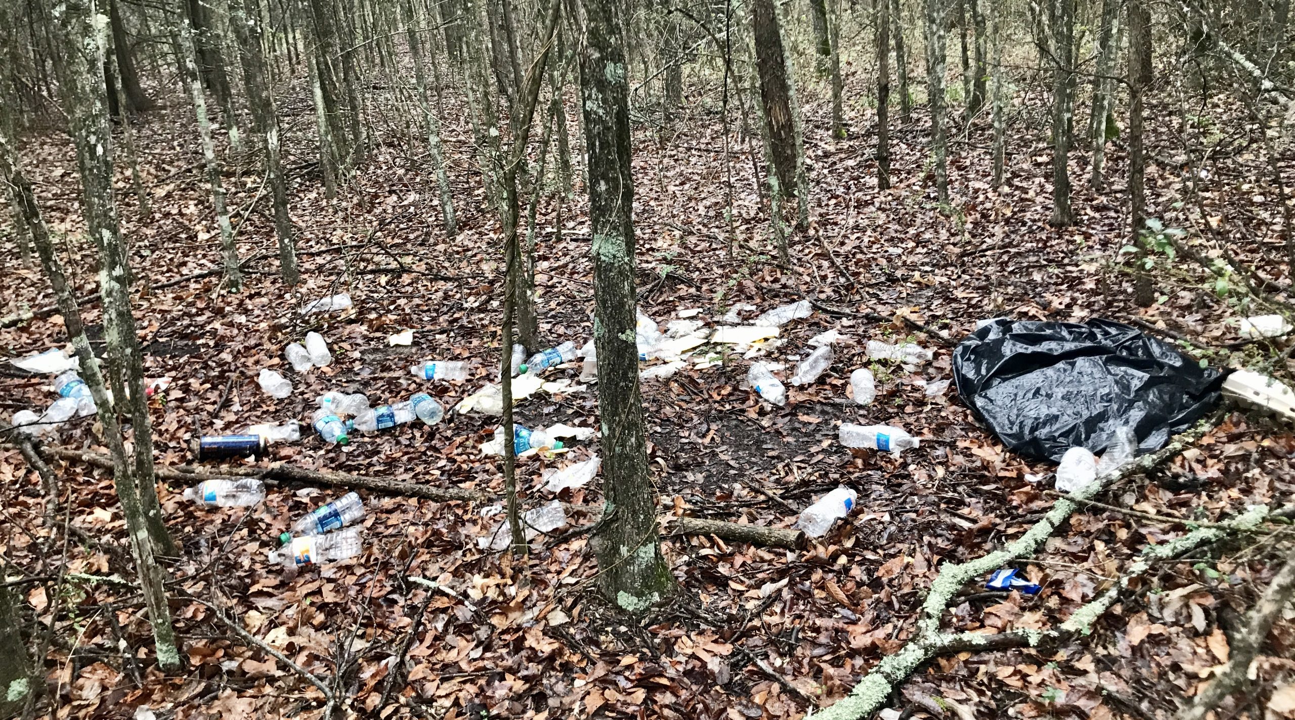
TRASH: Encampment #1
TRASH: Encampment #2


TRASH: Encampment #3, 4 & 5
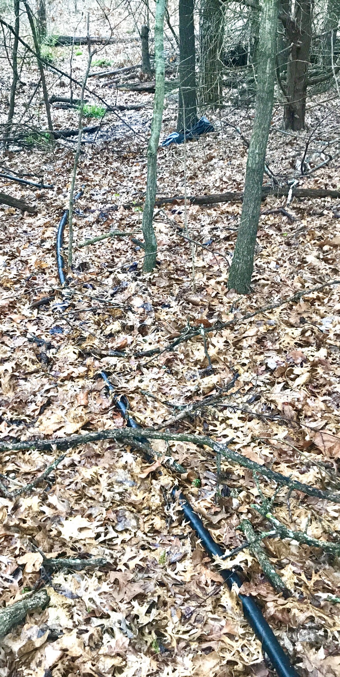
TRASH: Marijuana growing detritus
A marijuana growing operation was active in 2018. Trees were cut to create a clearing. Water was transported to site using a gas pump. A separate area was found where the plants were processed.
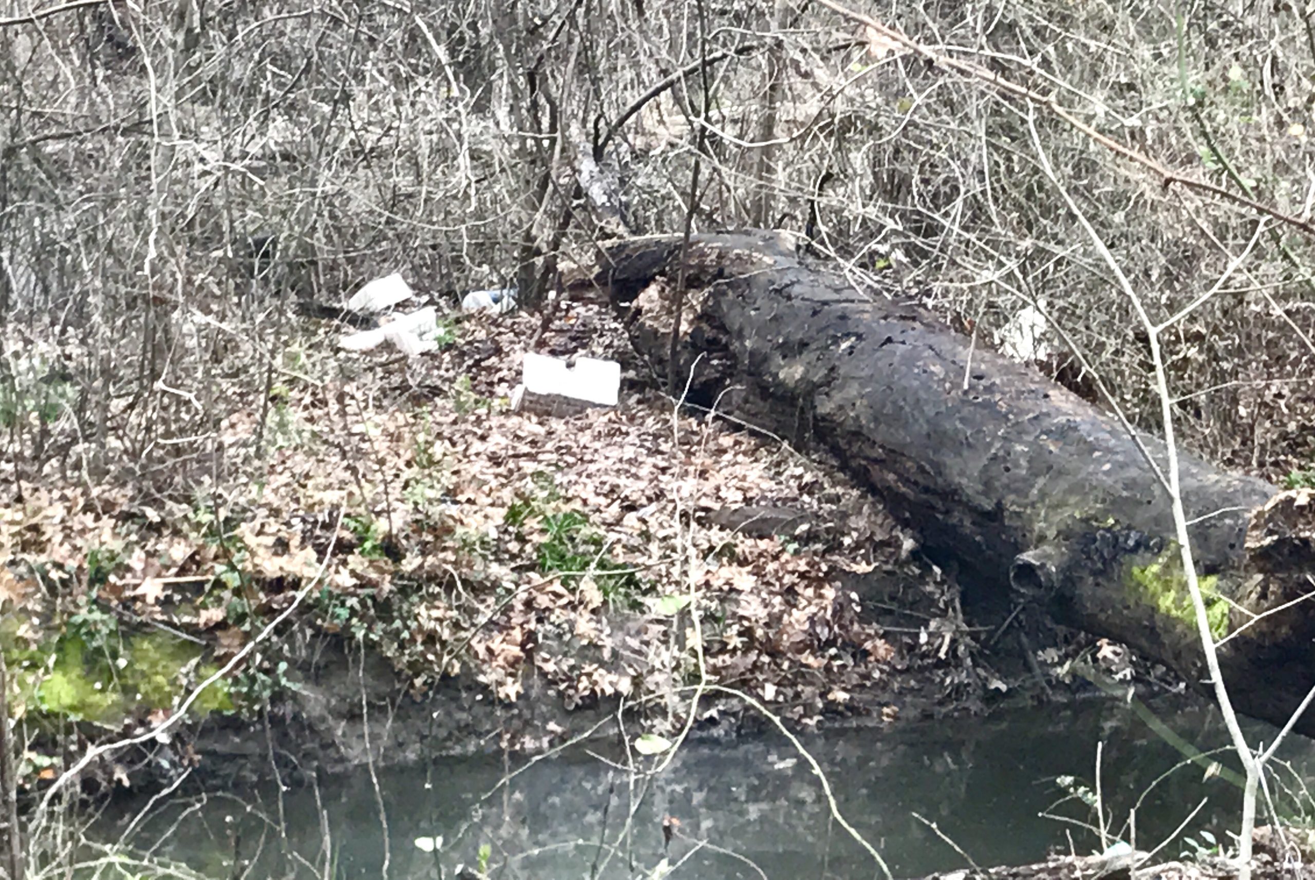
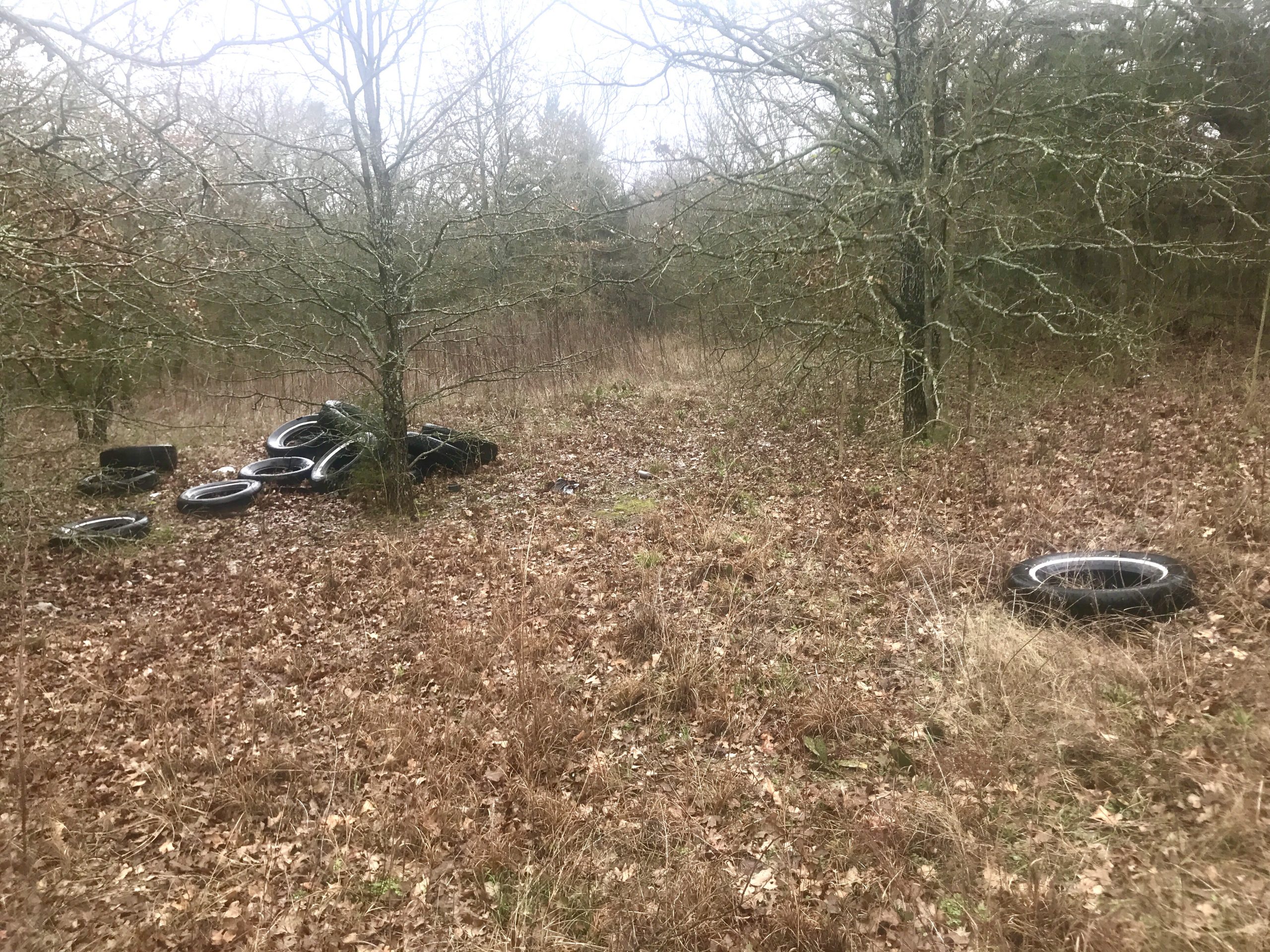
TRASH: Assorted


BACK ENTRANCE ACCESS
P ost O ak P reserve
Address: 1501 Bowers Road, Seagoville, Texas
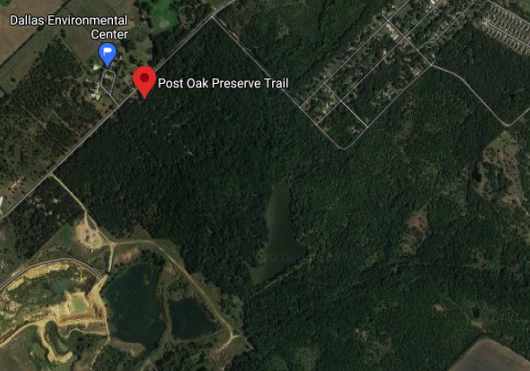
Acres: 335
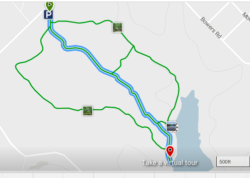
Trails: 1.2 mile loop soft-surface trail that extends to a lake and returns to parking lot. Bisected by asphalt access road leading to lake. Some dirt trail along western lake shore. Unknown mileage of unmaintained dirt trails throughout preserve.
Features: 12-acre Soil and Conservation Lake #6, benches, some trail signage
Background: Preserve serves as an outdoor classroom with D ISD E nvironmental E ducation Center. M ark B roughton is director.DISD used some of the property for an outdoor classroom beginning in the 1970s. Facilities greatly upgraded into an E nvironmental E ducation C enter in the ‘90s from funds resulting from an illegal dumping fine levied on some industries by the Texas Water Commission.
Naturalist notes: One of the few remaining examples in Dallas County of P ost O ak S avannah, defined as prairie interspersed with mature trees. It’s notable for its acidic sandy soil supporting abundant post oaks, plus some blackjack oaks. Some sections of alkaline blackland-style clay foster more common red and white oak, cedar elm, green ash, osage orange/bois d’arc, and pecan. Understory consists of inland sea oats, coralberry, beautyberry, greenbriar, and roughleaf dogwood. Large population of trout lilies and coralroot orchids in early spring.
Unfortunately, cedar elm and ashe juniper encroaching on prairie enclaves are rapidly destroying the savannah aspect of the preserve — its namesake! The prairies are about 10 years from being entirely obliterated. Invasives include extensive vining honeysuckle and some privet and other landscape shrubs.
MAPS