P ost O ak P reserve: Trail Report for NTMN
P ost O ak P reserve
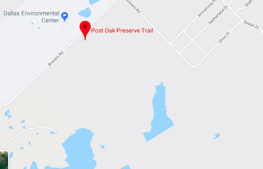
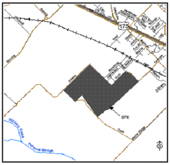
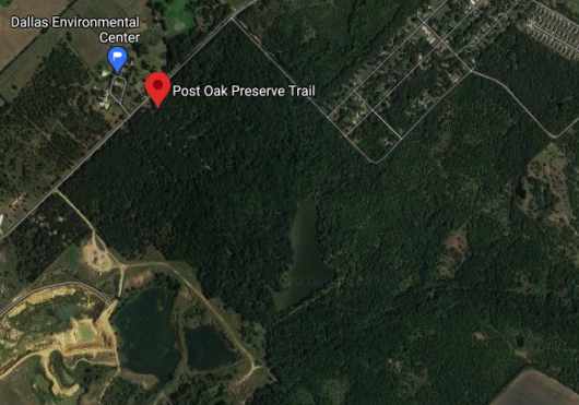
Address: 1501 Bowers Road, Seagoville, Texas
Acres: 335
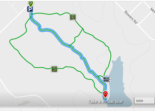
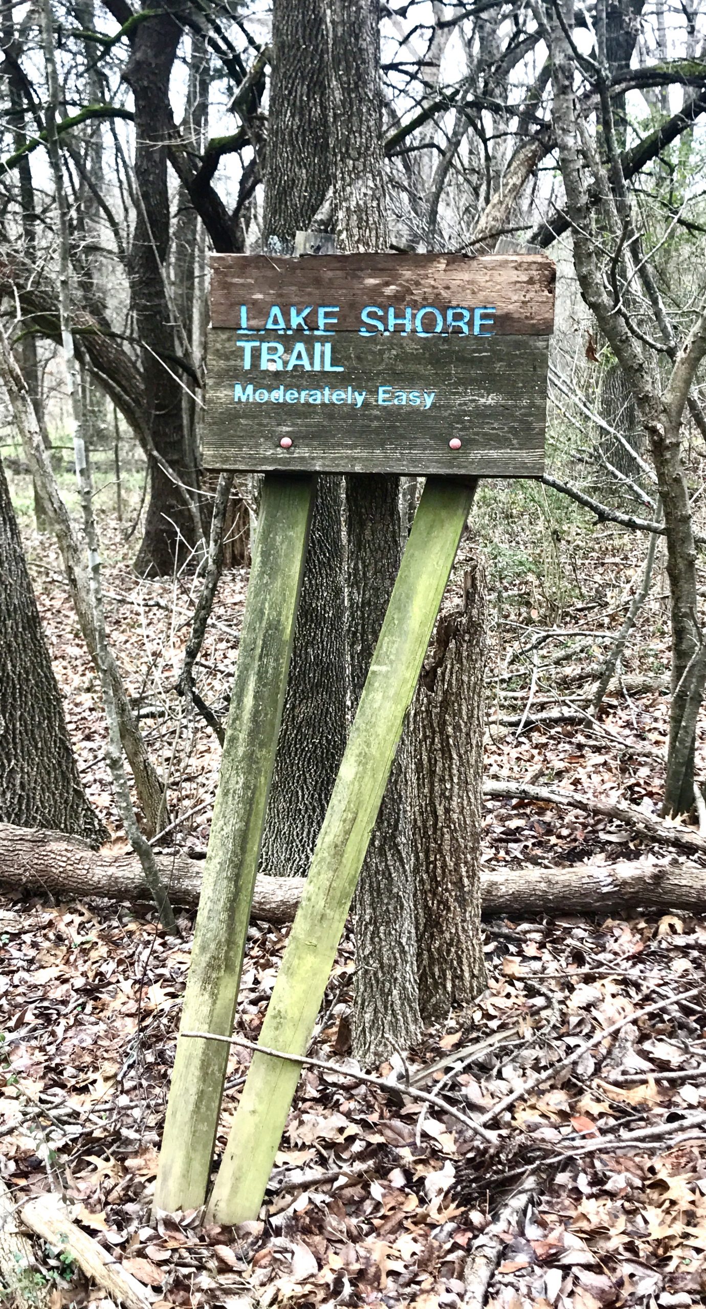
Trails: 1.2 mile loop soft-surface trail that extends to a lake and returns to parking lot. Bisected by asphalt access road leading to lake. Some dirt trail along western lake shore. Unknown mileage of unmaintained dirt trails throughout preserve.
Features: 12-acre Soil and Conservation Lake #6, benches, some trail signage
Background: Preserve serves as an outdoor classroom with DISD Environmental Education Center. Mark B roughton is director. DISD used some of the property for an outdoor classroom beginning in the 1970s. Facilities greatly upgraded into an E nvironmental E ducation C enter in the ‘90s from funds resulting from an illegal dumping fine levied on some industries by the Texas Water Commission.
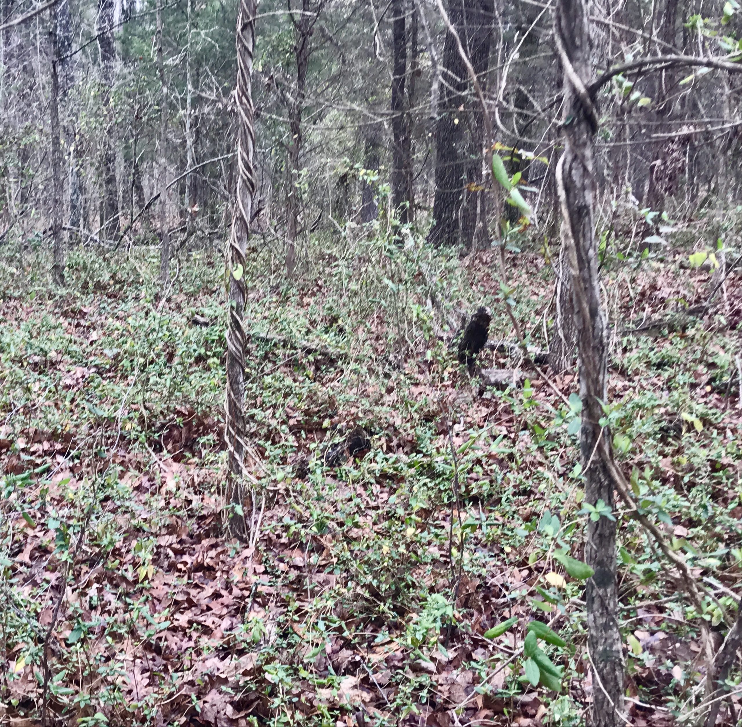
Naturalist notes: One of the few remaining examples of Post Oak Savannah in Dallas County, it’s notable for its acidic sandy soil supporting abundant post oaks, plus some blackjack oaks. Some sections of alkaline blackland-style clay foster more common red and white oak, cedar elm, green ash, osage orange/bois d’arc, and pecan. Understory consists of inland sea oats, coralberry, beautyberry, greenbriar, and roughleaf dogwood. Large population of trout lilies and coralroot orchids in early spring.
Unfortunately, cedar elm and ashe juniper encroaching on prairie enclaves are rapidly destroying the savannah aspect of the preserve — its namesake! The prairies are about 10 years from being entirely obliterated. Invasives include extensive vining honeysuckle and some privet and other landscape shrubs.
MAPS
WEBSITES
- E nvironmental E ducation C enter
- Dallas County Open Space
- Trinity Trails: P ost O ak P reserve
- Ecoregion: Texas Parks and Wildlife Department
- Ecoregion: Native Prairies Association of Texas
- Ecoregion: Texas A&M
- Plants: Ladybird Johnson Wildflower Center
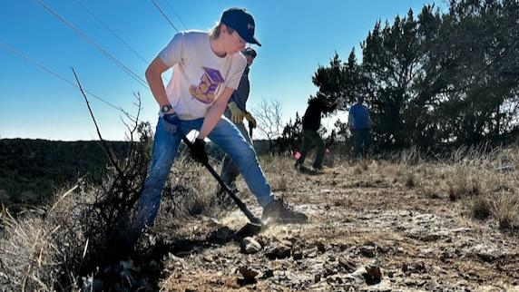
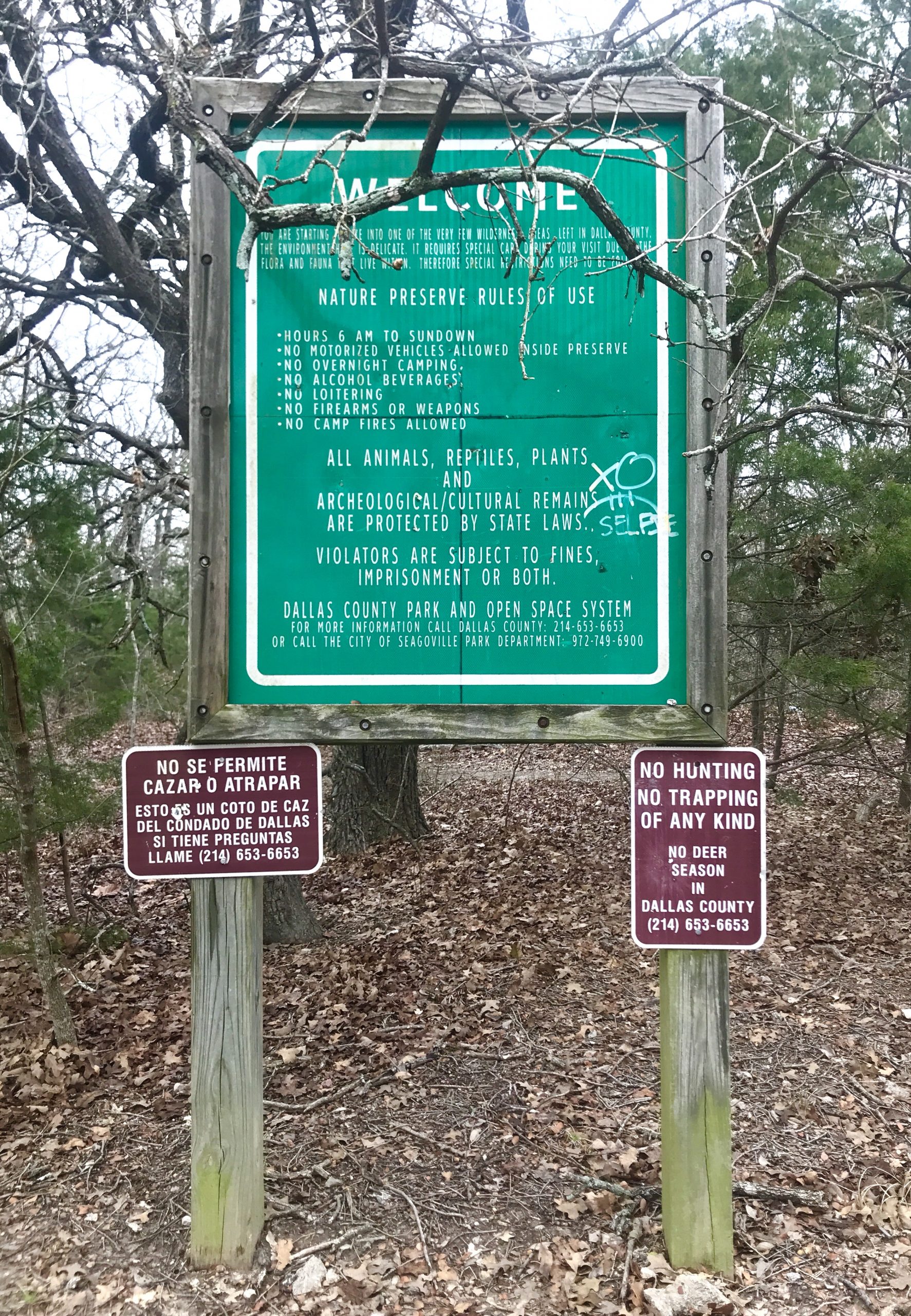
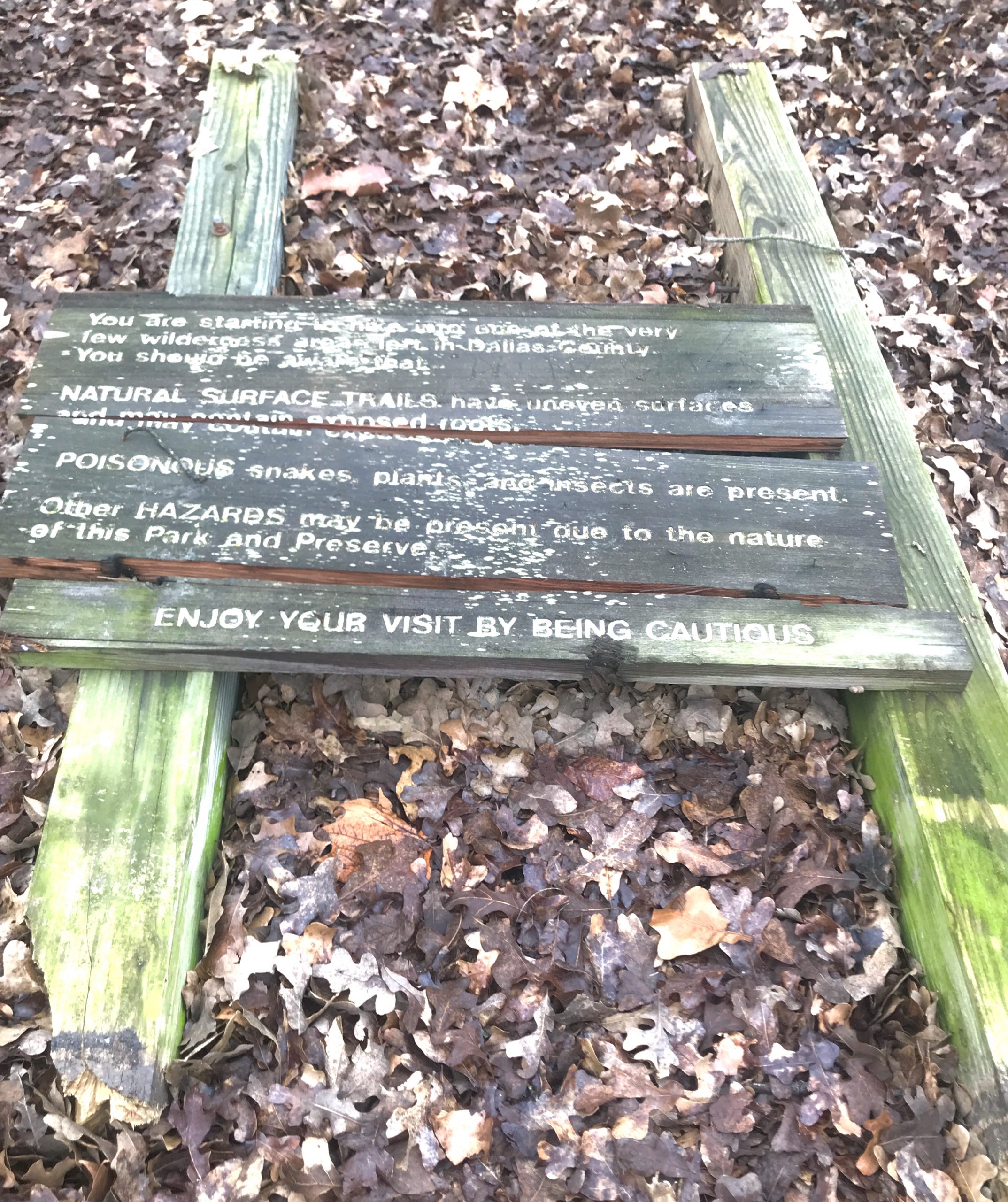
TRAIL ISSUES
Trash in a separate page
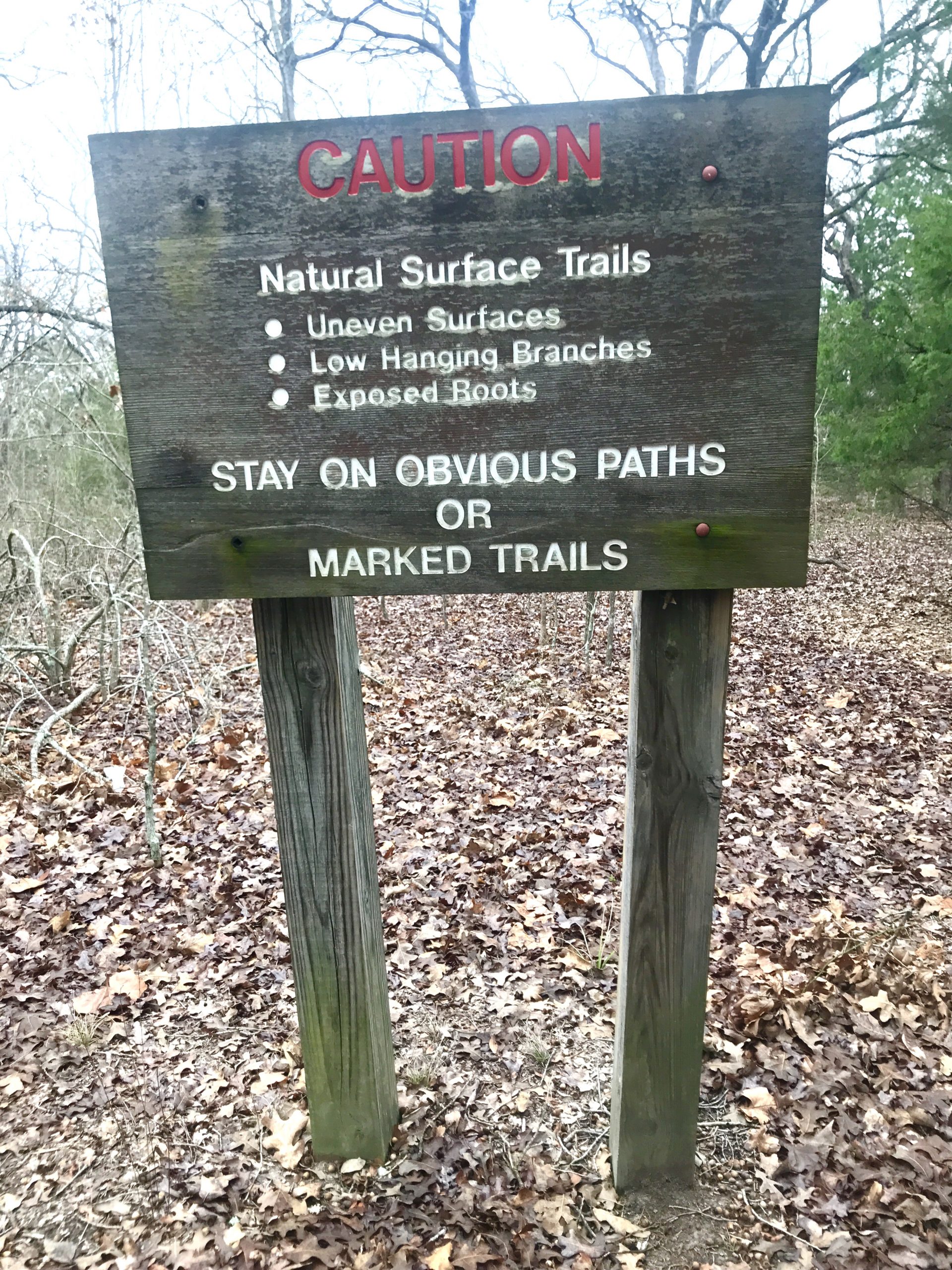
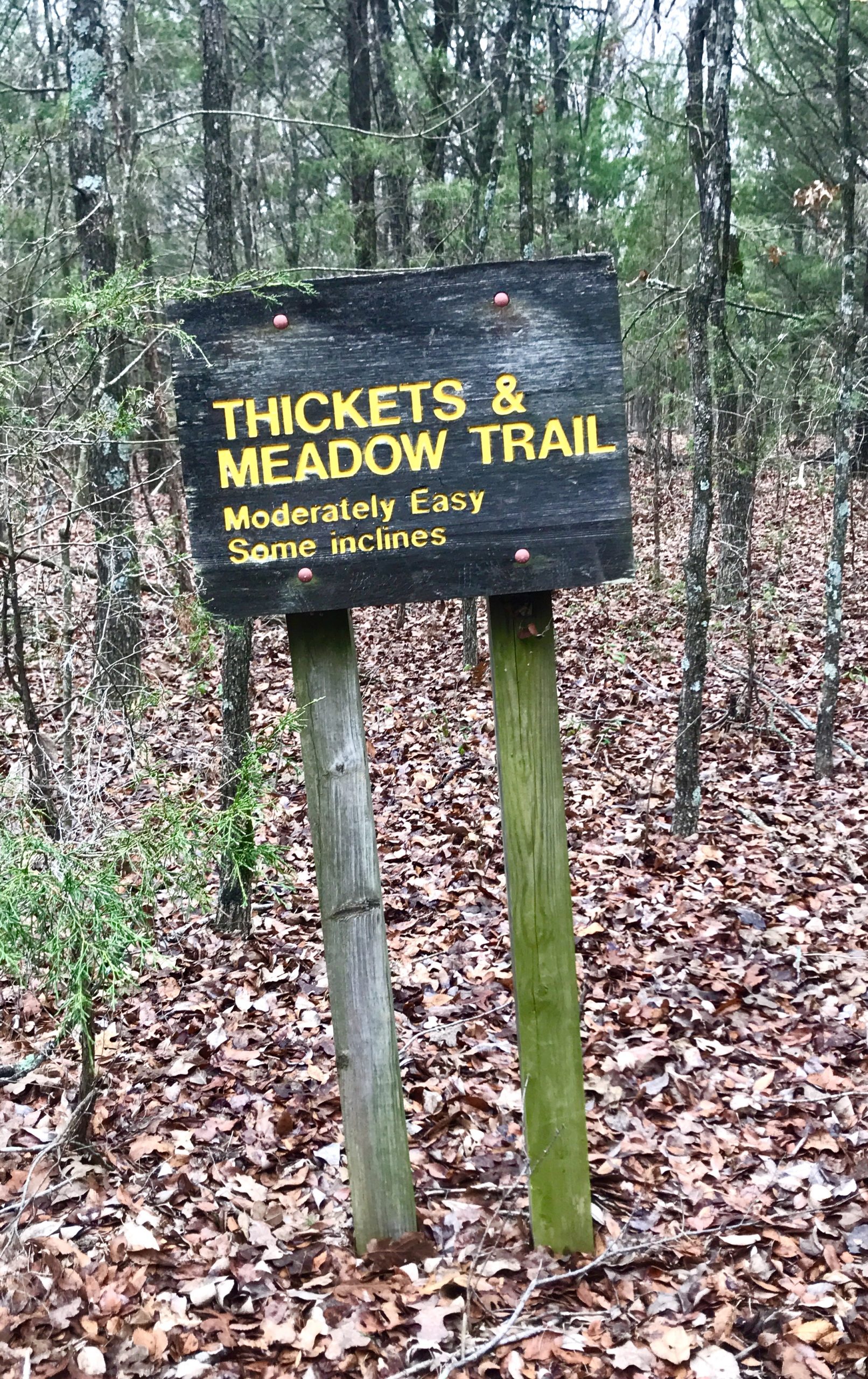
Trail Signage:
- Lacks trail map at entrance.
- Trail signage confusing and mostly lacking. Easy to lose trail near lake in western/southern sections.
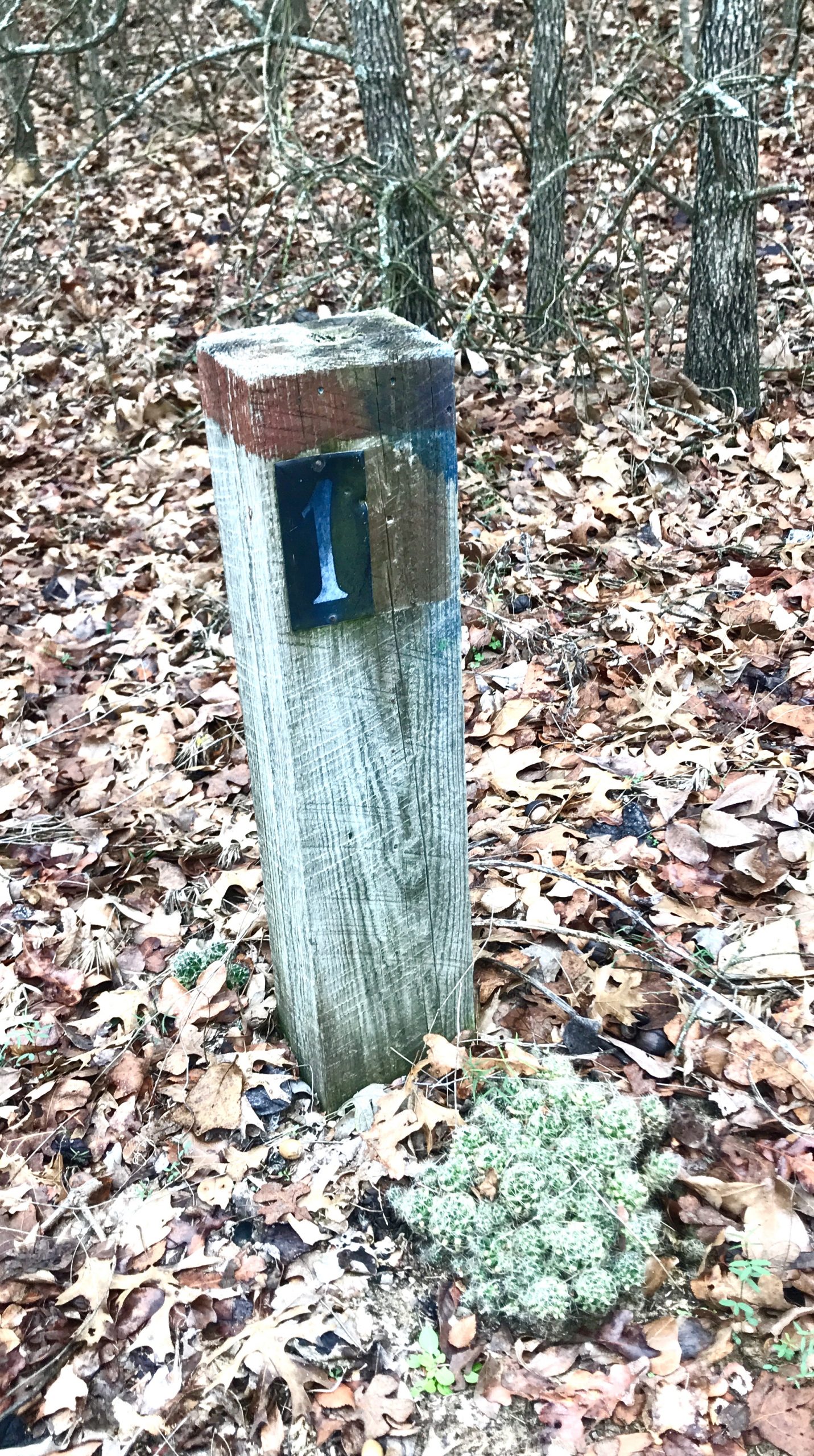
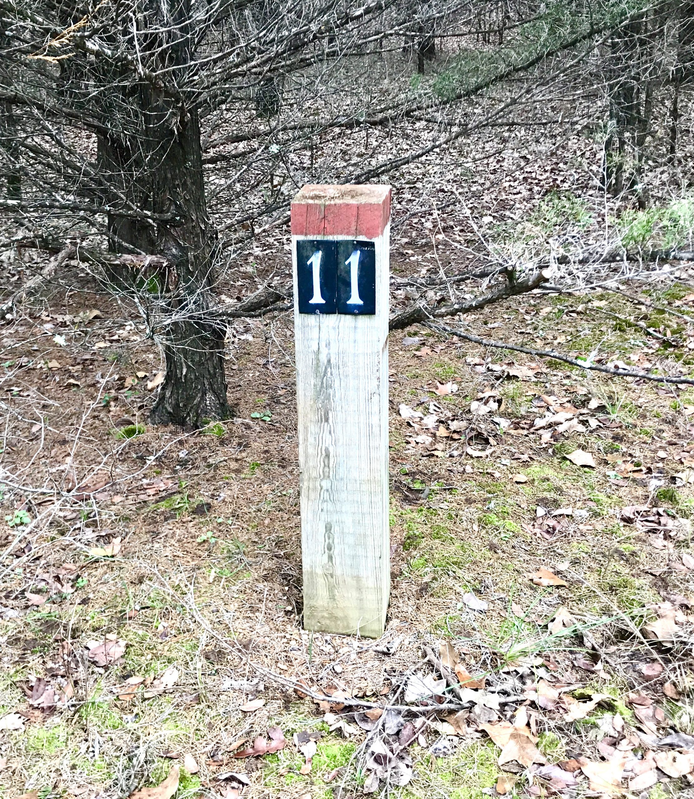
- Interpretative trail markers are erratic. No information online relating to marker stations such as available with the Spring Creek Forest Preserve Interpretative Walking Trail.
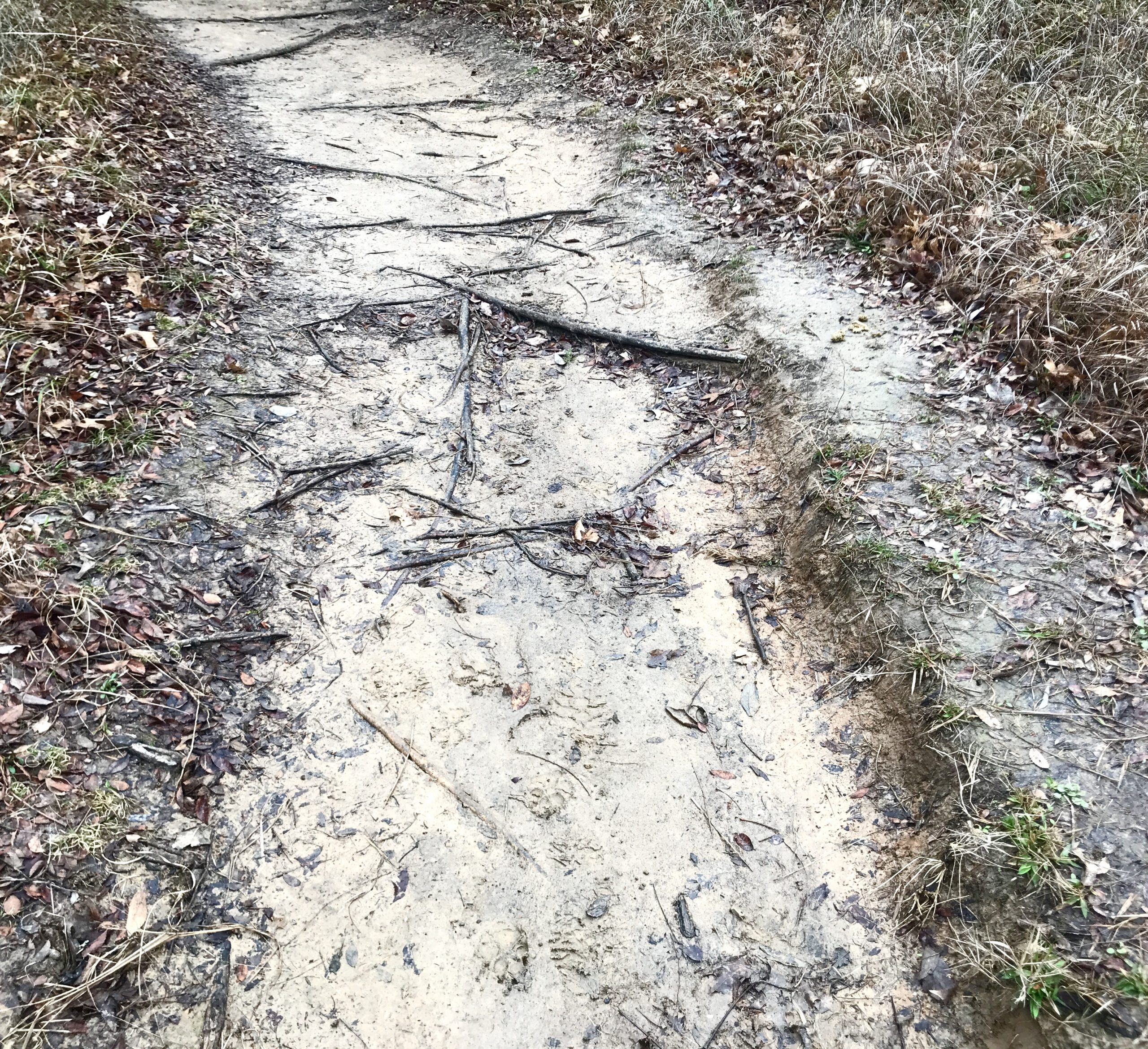
Trail Conditions:
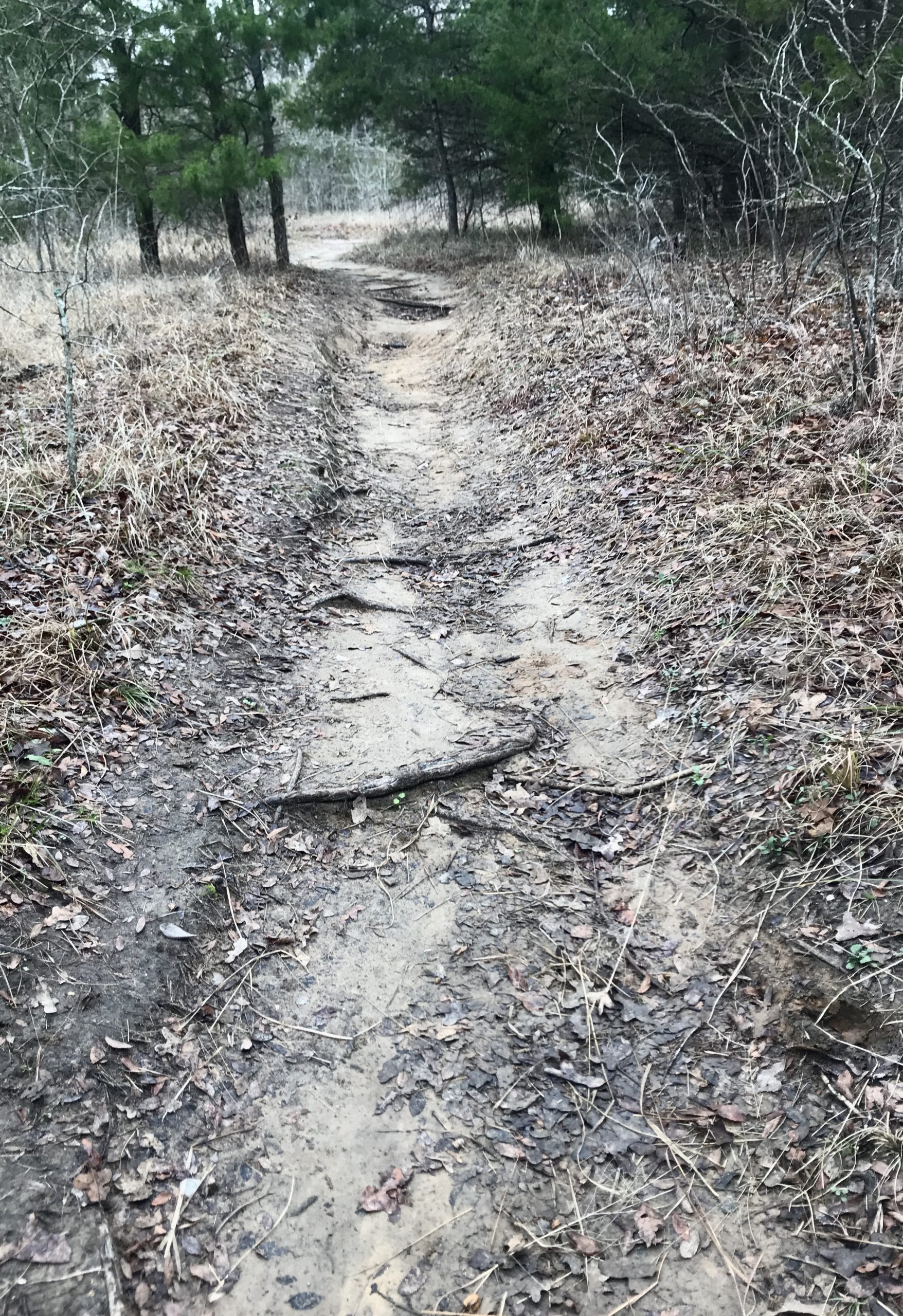
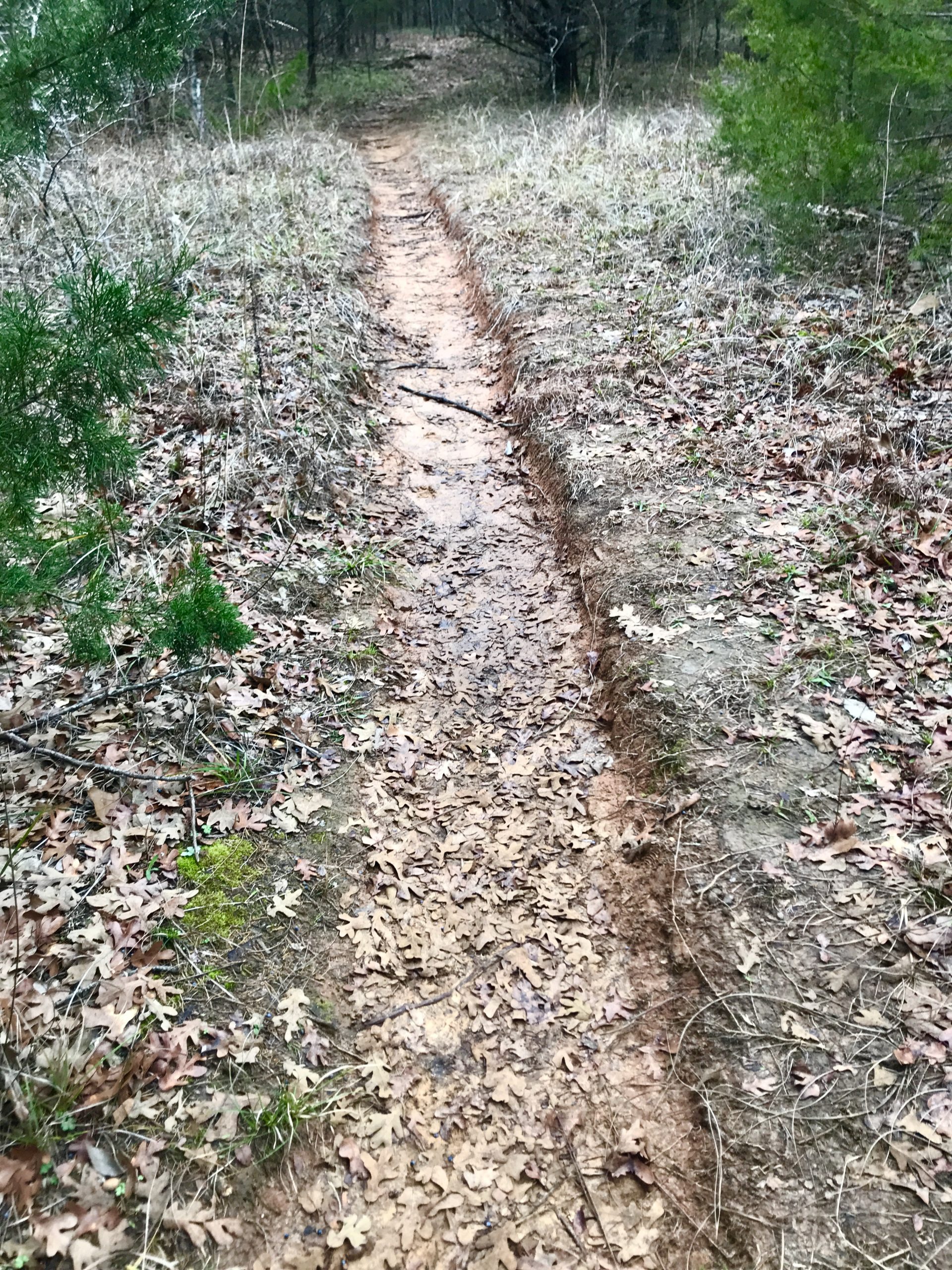
- Some trail erosion, mostly on northern/eastern sections of loop trail. But overall, trails are in good shape.
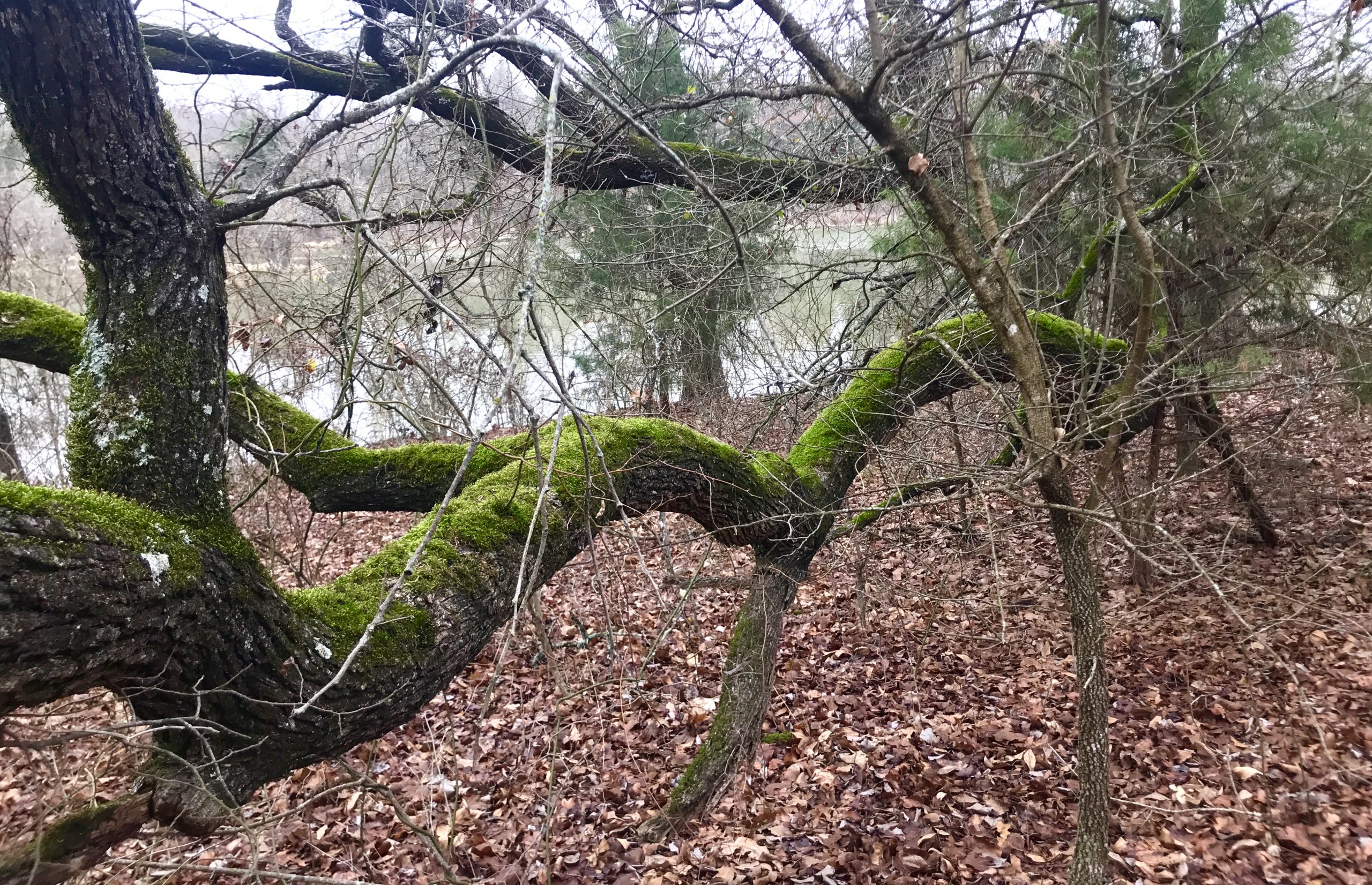
Invasives:
- Extensive vining honeysuckle in several areas.
- Some privet and other landscape shrubs.
- Overall, invasives not a terrible problem, though it may be different in northeastern areas beyond the lake.
Wildlife Viewing Stands:
- There are reported to be a series of wildlife viewing blinds built from sticks along the creek. Do not know their condition or if they still exist.
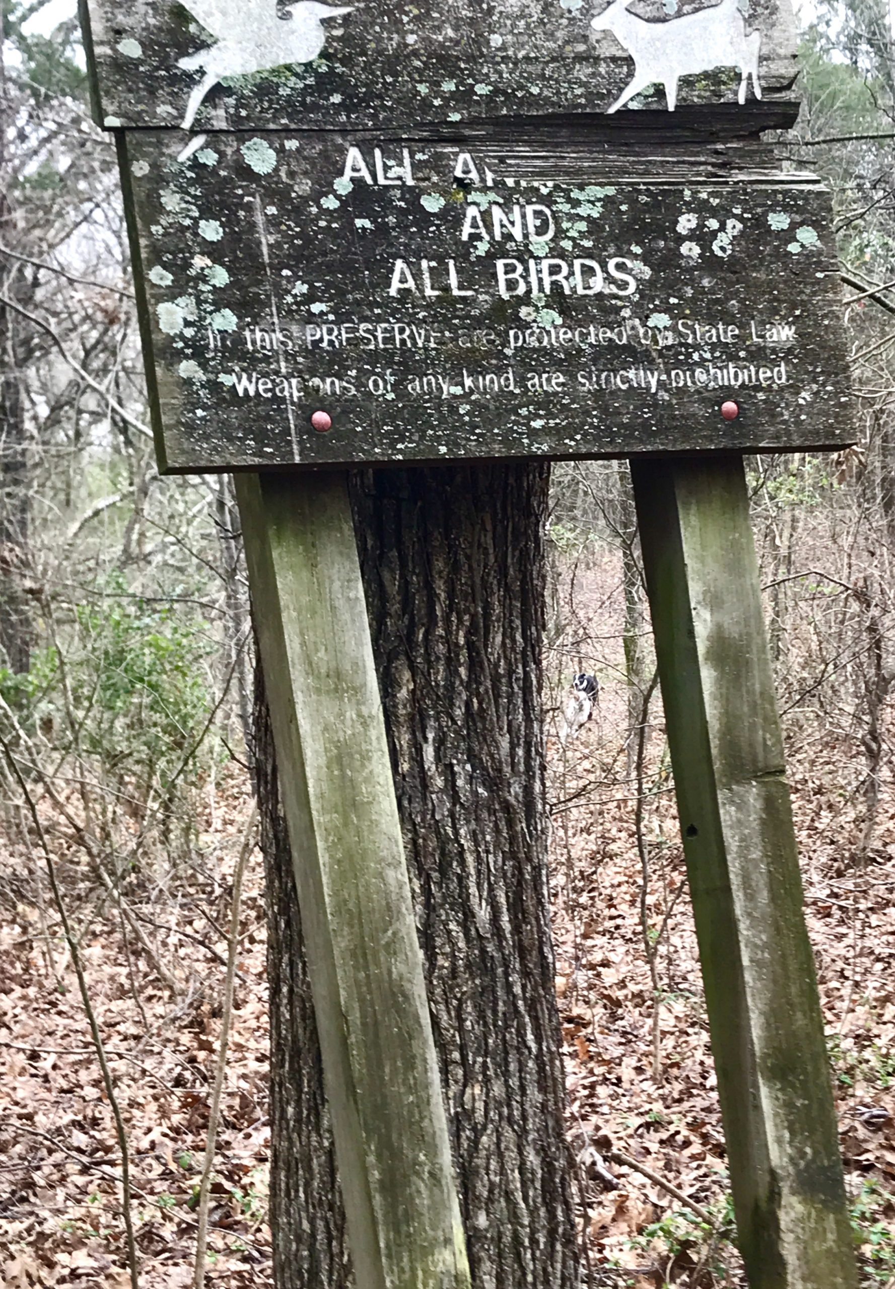
TRAIL SIGNAGE
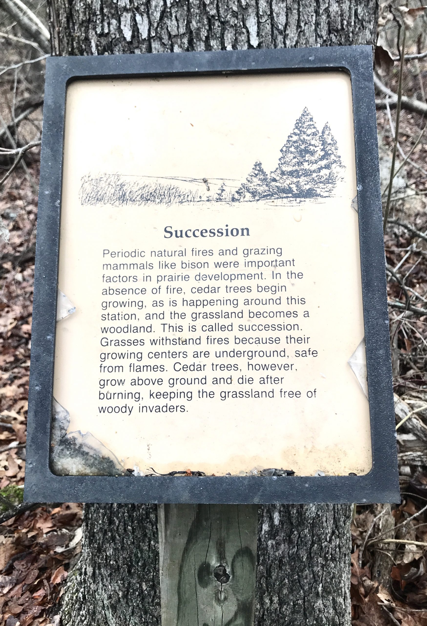
TRAIL INTERPRETIVE MARKERS
Various styles, found less than half of numbers.

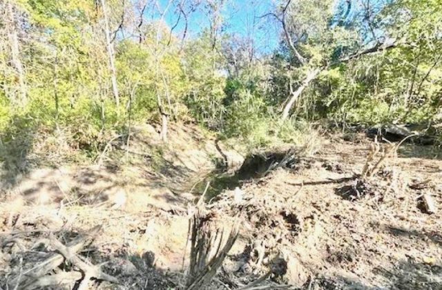
TRAIL EROSION


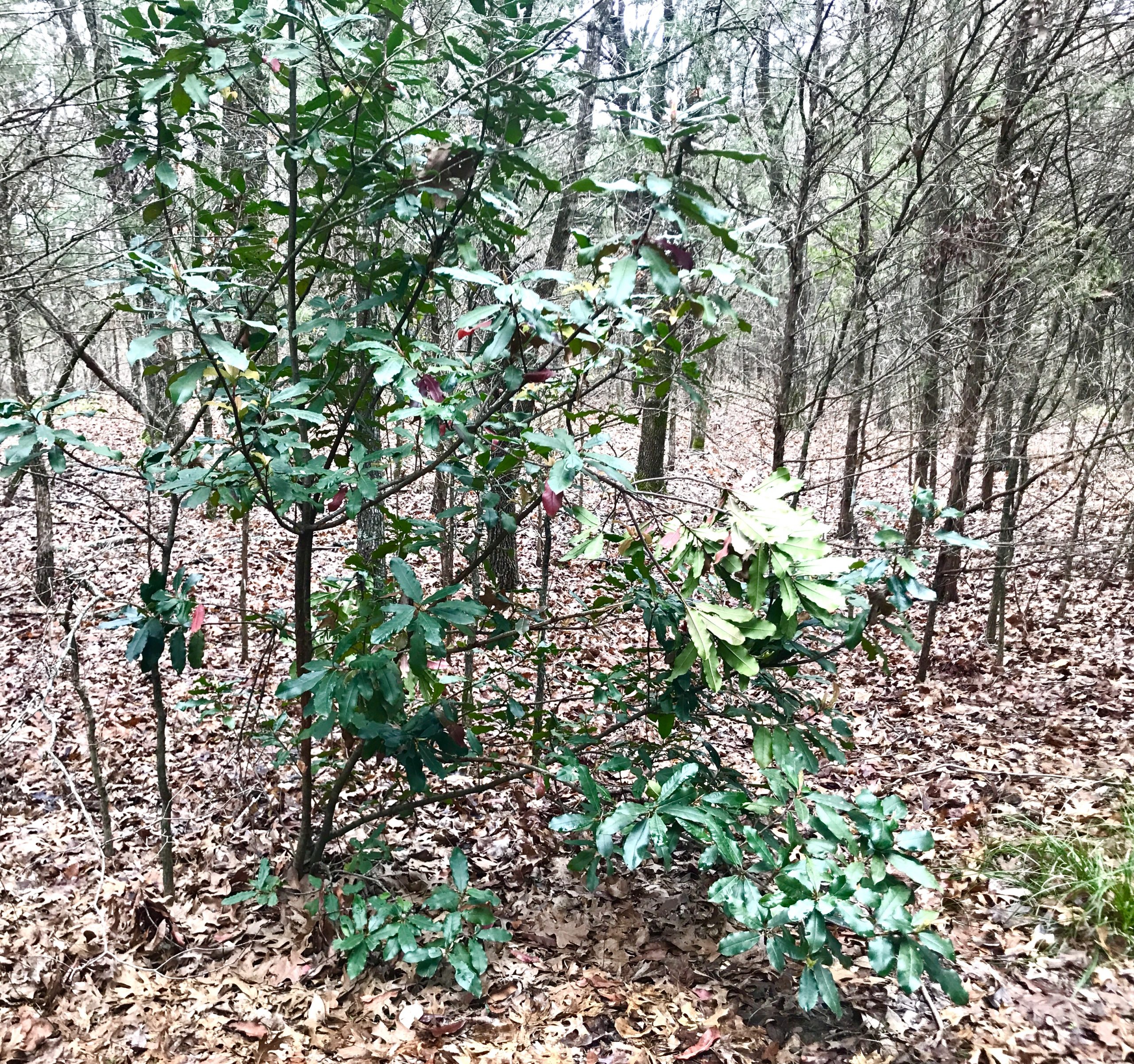
INVASIVES