Upper White Rock Creek Trails: Keeton Park north to Scyene DART
Vista, Vista!
Upper White Rock Creek Trails: Keeton Park north to Scyene DART
A warm afternoon in the waning days of fall, exploring the ridge trails overlooking the valley of Oak and White Rock Creeks.
 Length: apx. 3 mi.
- Difficulty: moderate with brief strenuous stretches
- Trailhead: Grover Keeton Park, 2323 Jim Miller Rd. between Scyene and Bruton
- Parking: Paved lot by baseball field.
- Landscape: rocky ridge, dry field, open to thick woods, damp bottomlands
- Notes: Trails can be impassible if city gets behind on mowing and clearing; easiest to see in winter. Beware the Beeman trail in ragweed season. Lots of poison ivy once the trail crosses the DART line.
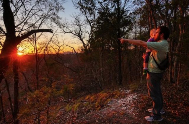
We are off to hike the trails of the Upper White Rock Creek Escarpment, a limestone ridge that runs through Pleasant Grove in southeast Dallas County down to the Trinity River and McCommas Bluff and beyond. Parts of the chalk rock geological feature, like the Piedmont and Scyene ridges, are among the highest points in the county and provide great vistas. The area boasts superb fall color, but high winds have stripped the trees of leaves except occasional hearty oaks still holding onto their red and burnt sienna.
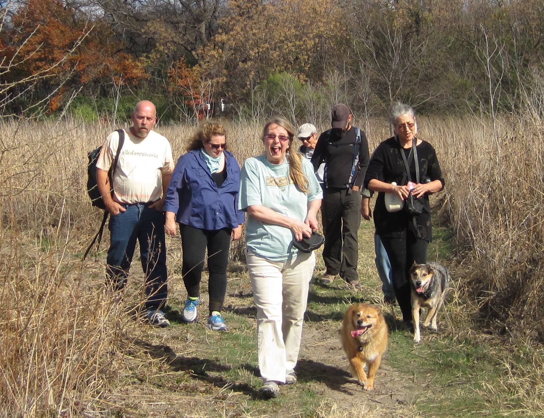
Our merry band today includes me and Scooter and our dogs Dotty and Mable, Scott and Tina, Linda and Warren, Dianne, and Kathy and her dog Zenni. We gather in the baseball field parking lot just north of the Grover Keeton Golf Course at 2323 Jim Miller Rd. The “official” trailhead at 2800 Renda St. is closed because, well, Dallas.
Working off the excellent directions from the Dallas Trinity Trails blog, we skirt the right side of the baseball field and take a right through the yellow metal barricade. (If you want to go to the Laceywood Overlook, go through the earlier wooden barricade.) The narrow rock footpath winds through thickets of invasive Chinese privet shrubs over 10 feet tall that are doing their best to eat the trail.
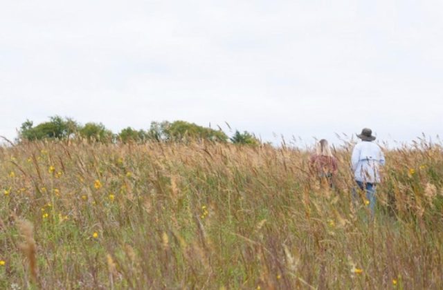
The path goes through scattered brushy trees and undulates along the folds of the chalk rock outcropping until descending quickly into a large cleared area. The trail becomes a wide mowed path. Now a mess of dead Johnson grass, the meadow would be arduous to cross without the cut swath.
(Graphic courtesy of DFWUrbanWildlife.com, above photo courtesy of Dallas Trinity Trails in Amy Martin’s article at GreenSourceDFW)
TO THE SCYENE OVERLOOK
Linda and Warren investigate an odd, decaying trail kiosk out in the field. We’re not sure where it goes (in retrospect, it seems to be a shorter route to the Scyene Overlook; will try it next time), so we head to the better known Scyene Overlook.
We walk diagonally left across the field toward the trees where we find the trail, a former road, heading through the woods. Soon the DART line comes into view and we hike along it before turning right and head gently upward.
The clutch of tall, narrow cedars creates deep shade that makes the path hard to follow. We just keep going upward along north-northwest direction. Just as we start having doubts about being on the right trail, two wooden sign poles come into view: Scyene Overlook points right and J.J. Beeman Trail goes left.
 We turn right and soon the trail goes up a near vertical mini-cliff of white rock. All of us slip, slide and scramble up to the top. Ah, the ridge. The overlook sign has been destroyed (again) but the scenic vista bench to the right provides rest and a lovely view. Yellow cottonwoods and elms, red oaks, and orange ash trees are spectacular in the fall (Dallas Trinity Trails blog entry).
THE OAK AND WHITE ROCK CREEKS VALLEY
Grey, leafless trees of late fall, punctuated by the dark green of cedars, sprawl by thousands of acres in the low areas beneath the escarpment, all of it publicly owned land. Somewhere in there, Oak Creek, which drains much of Pleasant Grove, snakes through the trees, heading to its swampy union with White Rock Creek.
After leaving White Rock Lake, White Rock Creek is channelized and remains that way for miles until just south of Scyene when it enters this forest. Unleashed from its concrete repression, it regains its meanderings with a passion and heads toward the river, fostering the northern end of the Great Trinity Forest as it does.
In the 1800s, this long escarpment was the well-known high road, safe above the floodplains and high enough to survey vast amounts of landscape. The founder of Dallas, John Neely Bryan, and his wife Margaret Beeman, had their home further south on the ridge in the mid 1800s, as did her parents, John and Emily Beeman, and many Beeman relatives, a prosperous and upstanding bunch.
But back then, Pleasant Grove was also the haunt of outlaw types such as Belle Starr, Cole and Bob Younger, and Jessie and Frank James. The town of Scyene had six saloons for a population of 300. That lawlessness still reigns in parts of the Great Trinity Forest, which extends to the southwest.
(Above photo by Dianne Frossard)
INTREPID, WE
We decide to take what looks like a more gradual path back down from the overlook, but the alternate route is an illusion. Mapmeister Scooter and former Eagle Scout Warren give aim to our wanderings through the cedar forest and mange to reunite us with the trailhead.
From there we launch onto the trail named for J.J. Beeman (1816–1888), half-brother of John. We quickly leave the ridge and begin easing into bottomlands through an open section of scattered trees. It’s pastoral and lovely.
There’s plenty of leafless poison ivy here as well as deeper in the trees. Its evil, bare and still poisonous stems beckon. An expert at identifying poison ivy, I lead the way, shouting “PI, 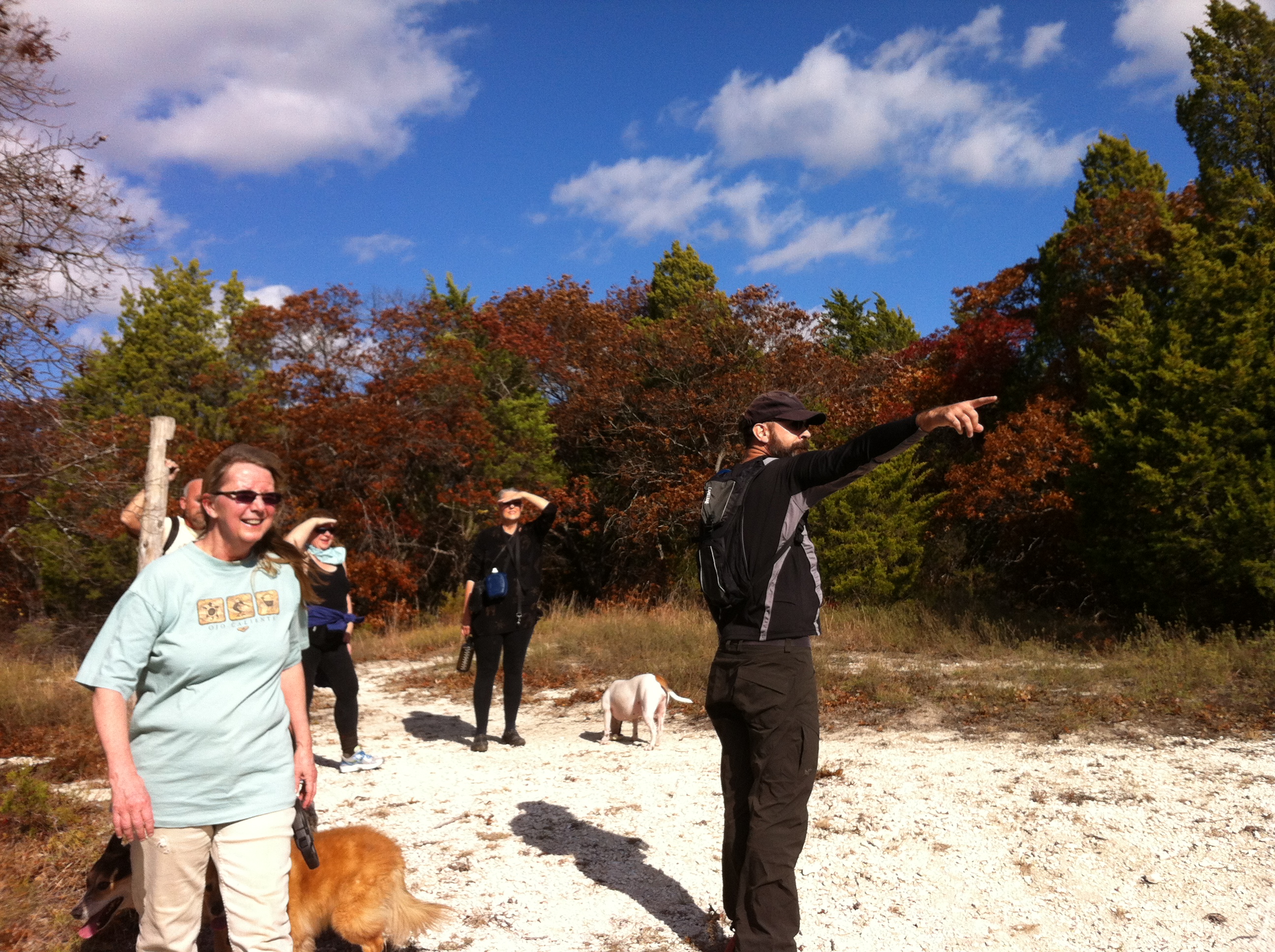 PI!” and lifting my arms when skirting a patch.
Ahead of us we spy a gap in the trees and stumble into a fully striped, 40-foot section of paved road. To the right it turns into gravel and ascends the ridge for a short distance. To the left, it passes over the DART line — complete with a full set of railroad crossing arms and warning lights — and abruptly ends. It is so odd, this train crossing to nowhere.
BEEMAN BOTTOMLANDS
Thanks to the Dallas Trinity Trails blog, we know to cross the tracks, look to the right and resume the trail. The trees immediately become much larger with towering cottonwoods four feet across, oaks almost as high and squatty Osage orange trees. Virginia wild rye replaces the invasive Chinese honeysuckle vines prevalent on the other side.
Now further away from Scyene and Jim Miller thoroughfares, and lower than the ridge, silence reigns. Our voices echo in the thick forest, trunks every eight feet or so. It must be very shady and cool here in spring and summer, but also humid and possibly deadly. Wilted remains of giant ragweed fill many areas. Make mental note: Do not hike here in late summer and early fall when the weed’s in full pollen.
The mowed trail is four feet across, a good thing considering how tall giant ragweed gets. We wander the lush and shady woods, the wide path allowing small conversation groups to amble along together. The dogs dash ahead and we hear a splash — they’ve found a small basin of swamp water. They emerge smelling impressively rank.
There the trail seems to end. It may continue past the water, but we are wisely unwilling to wade it. Theoretically, the trail connects to the huge DART station at Scyene and Lawnview. Warren explores further but finds nothing. Besides, the poison ivy is once again intense, so we turn around and head back.
(Above photo by Scooter Smith)
Great Links:
Dallas Trinity Trails: Lower White Rock Creek Trails
Dallas Trinity Trails: Texas Fall Color On Dallas Lower White Rock Creek Escarpment
Dallas Trinity Trails: Fall Red Woods of the Great Trinity Forest
DFWUrbanWildlife: Great Trinity Forest Overlooks in Dallas, Texas
Amy Martin, writer: North Texas Wild: Your guide to exploring the Great Trinity Forest
Amy Martin, writer: North Texas Wild: Great Trinity Forest and the future of Pemberton Hill
Amy Martin, writer: Resources: Great Trinity Forest & Trinity River
Watermelon Kid’s Dallas History timelines
