A Walk in the Woods & Lots of Trash to the Curb
by Amy Martin, Friends of Piedmont Coordinator
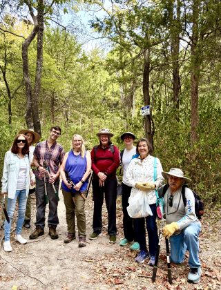
The idea was a “working walk.” It was too hot to cut and drag privet. Many of us hadn’t walked the trails since the summer of record heat and drought began in June. We’d missed the Ridge so much!
So we walked and surveyed the trails, picking up trash and moving a few fallen branches along the way. We also talked about wayfinding signs and how much we need them. Exciting news about that in a minute.
Another topic was the increased use of eroded vertical trails, one trail set at Lacywood and another at Scyene Overlook. These trails go straight up the steep Piedmont slopes, rather than taking a gentler, less direct approach designed to manage water flow down steps. The Piedmont Ridge chapter of Wild DFW: Explore the Amazing Nature Around Dallas-Fort Worth covers the impact of these trails.
The Scyene Overlook knoll juts up to 480 feet. Citizen-made trails up the east face have eroded into barren channels. It seems the makers were out here to enjoy nature. So why inflict permanent damage?
It’s understandable that running these straight-up trails is exciting, even a little thrilling. To the young and fit, they are a lot of fun, and parks should accommodate a wider range of interests.
But these trails are not sustainable. They become channels for stormwater rushing off the limestone ridge. The main one at Lacywood has formed a channel over six inches deep. Historic aerials show the path is much wider than before.
Occasional ridge scalers were relatively gentle on the slopes. Now that traffic has increased, it’s becoming an issue. And now, more scaling trails have been made.
A slow walk on limestone doesn’t do much damage. But digging in with deep-tread shoes to run up vertically greatly cracks and loosens the limestone. A high-velocity descent with full tread contact is even worse.
When rains return this fall, we’ll see accumulated limestone debris at the trail bases, not just eroded trail pieces but rock being pulled down from the ridge crest itself.
This is not sustainable.
A couple of decades ago, Dallas Park & Recreation hired professional trailmaster Rick Buckley to re-route Scyene Overlook access to the gentler slope on the west side. It’s a lovely winding trail that starts in the Comanche Lodgepole Woods, threads through ridge trees, and gently ascends to the top.
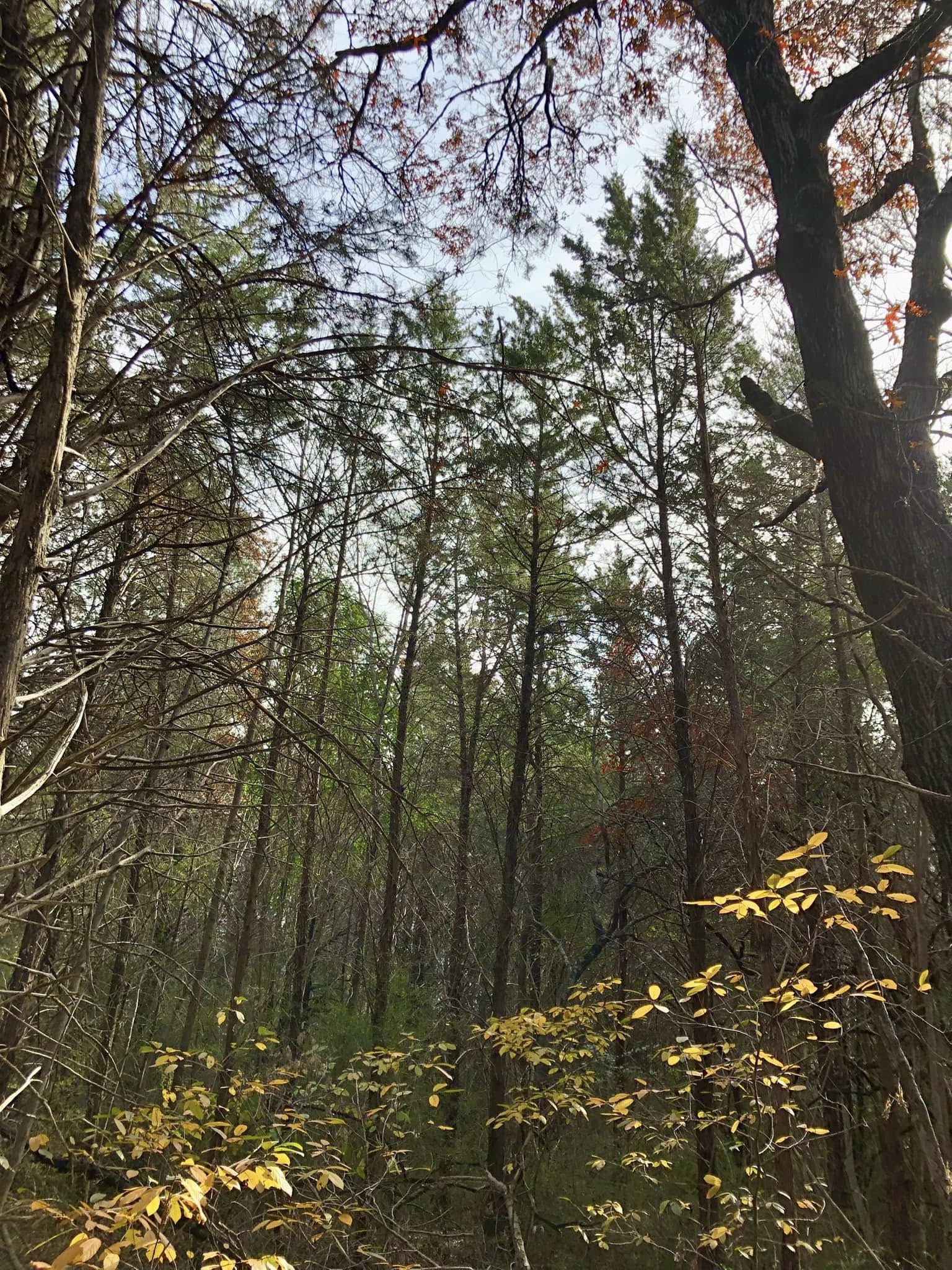
We surmised that if you see nature as a free outdoor gym, permanent damage and accelerating erosion aren’t issues. But if you respect nature, unsustainable trail use should concern you.
Ridge scalers are invited to join Friends of Piedmont and volunteer or at least donate. We could really use your energy and skills.
OK, off the soapbox…
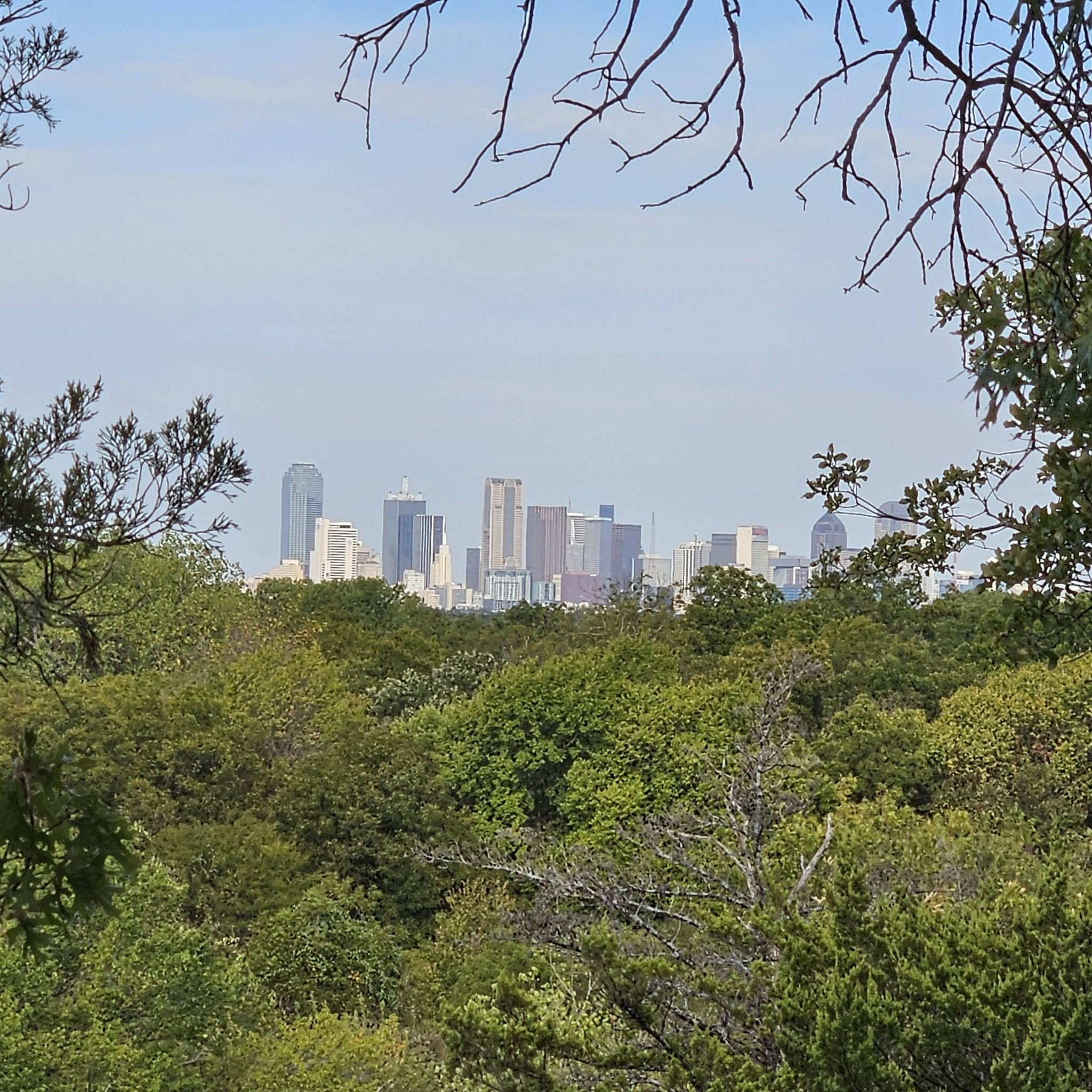
On our way up to Lacywood Overlook, we marveled at the many bastard oaks (yes, that’s their real name), with their shaggy grey bark and tendency to grow trunks in sets of three. We adored the aromatic sumac and yaupon and were grateful for the fewer invasives on the ridge crest. Here’s a cropped, close-up view of downtown from the Lacywood Overlook by new Friend, Andrew KP.
To the Meadow We Go
We forgot to backtrack from the overlook to the beginning of Isaac’s new, gentler descent to the DWU corridor, aka limestone slash. We could see it through the trees as we went sliding down. Next time, for sure!
The slash was navigable, mainly because the drought kept the weeds short. Then we headed to Renda Meadow. This time we turned right to take the long way around the loop. We found a decades-old kiosk crumbling in the brush, but the abandoned road and rock parking lot are now swallowed by brush and vines.
(Long story about the former entrance off Renda getting closed in the 2010s because the parking area became an all-night party scene. But once it was, city brush mowers could no longer access the meadow, and now it’s overgrown with trashy trees, many of them invasive.)
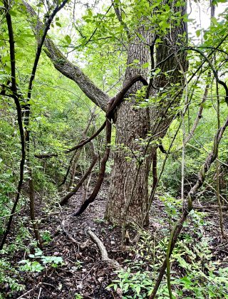
Some big trees in the woods adjoining Renda Drive were lovely. The long route is a more enjoyable hike than I remember, and we should do it more often. We marveled at the deep gully that collects stormwater from north of Scyene and off the east side of Scyene Overlook.
Randy noted an overgrown trail that crosses the gully and connects the Renda Meadow Loop to the Scyene Overlook Trail. Tantalizing! We need to resurrect and mark that before finishing the trail map. When large amounts of stormwater torrent down the gully and slam into the elevated DART line, it’s far more water than the culvert underneath can handle. The backed-up water creates a swamp that lasts for weeks and makes the usual trail a mire. The other trail provides an alternate way in wet times.
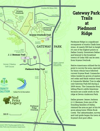
At the Scyene Overlook Trail turnoff from the meadow loop, we saw the first of several square cedar poles. At times, The Loop’s White Rock Bluffs Trail (WRBT) overlaps ours. These poles will feature their high-class wayfinding signs. Whatever The Loop does, they do it well.
JJ Beeman Sidetrack
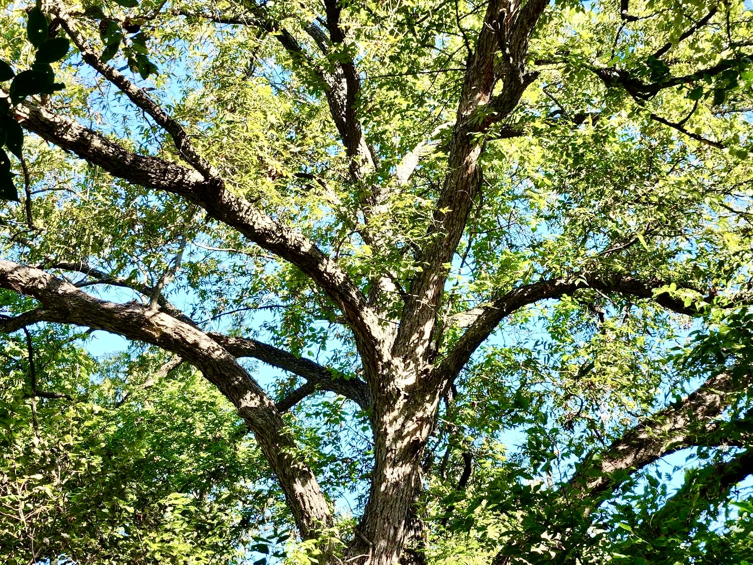
The group took a left on the WRBT to get a better view of the Beeman black walnut grove, which before the pioneer era was wildscpaed by Native Americans. Such gorgeous trees! All agreed we need a trail through there to get a closer look.
We took the DART crossing to nowhere and wondered what they meant when stating they would “pedestrianize” it for the WRBT. Once across the tracks, we looked at the long red-orange trail ties that show the WRBT’s future path to the Lawnview DART station on Scyene. We wanted to amble down the JJ Beeman Trail, but are saving that for next week.
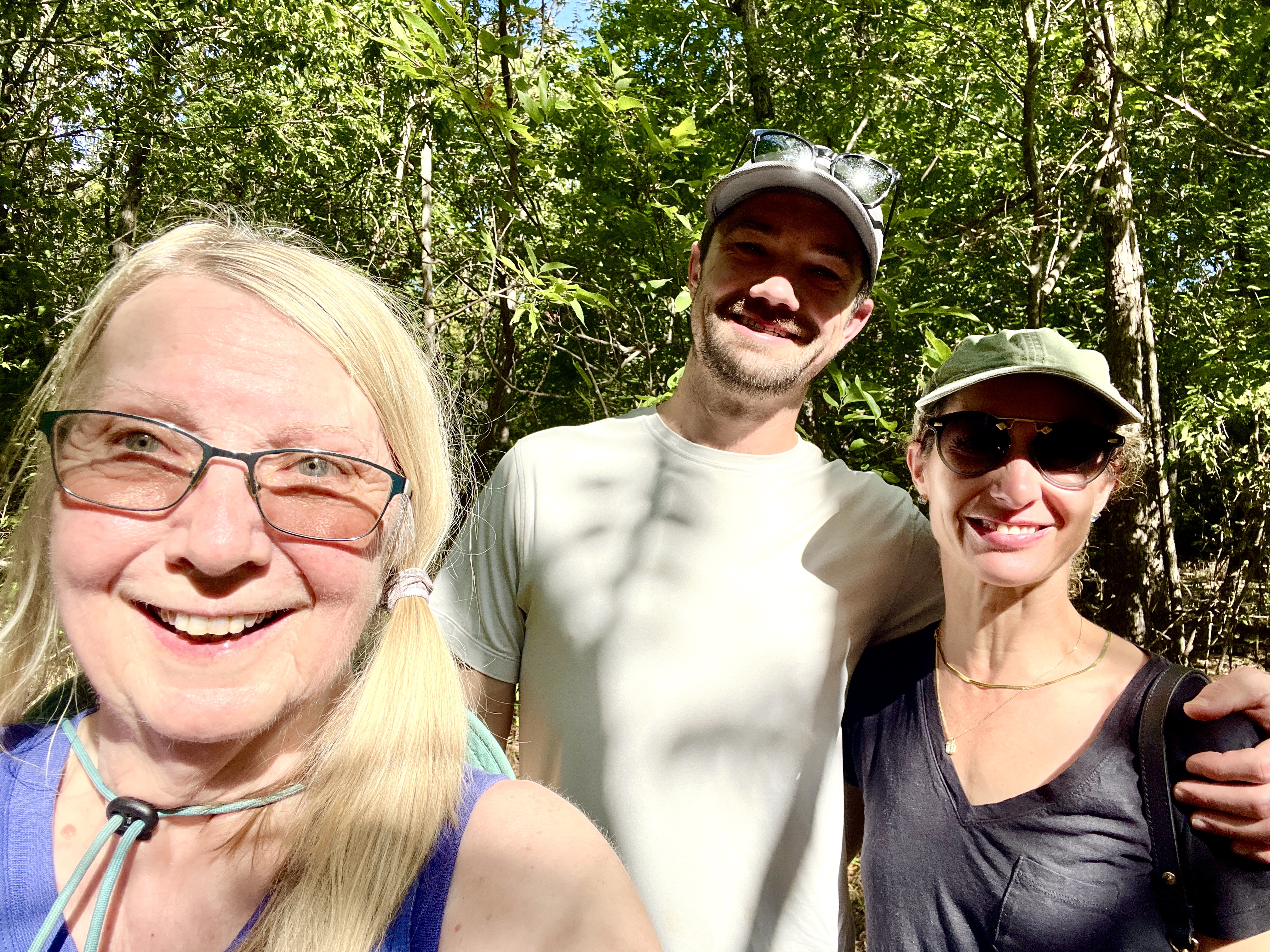
Suddenly, there was a lovely hiking couple joining us! We asked if they were headed down the Beeman and how they’d heard about it. “We read about it in a book.” We all laughed — that’s my book, Wild DFW! Photos ensued. I informed them of the new gully crossing that has trail ties and can be confusing.
On to Scyene Overlook
We backtracked to the Scyene Overlook Trail, marveling at the big trees as the trail made its way up. Had to stop a bit in the Comanche Lodgepole Woods and admire the privet and nandina removal done by a winter work group. One more session and it will be perfect for when the Comanches come in autumn 2027 for the celebration of the Ridge’s inclusion in the National Register of Historic Places as a TCP (traditional cultural place) for its historical significance to the Comanche Nation.
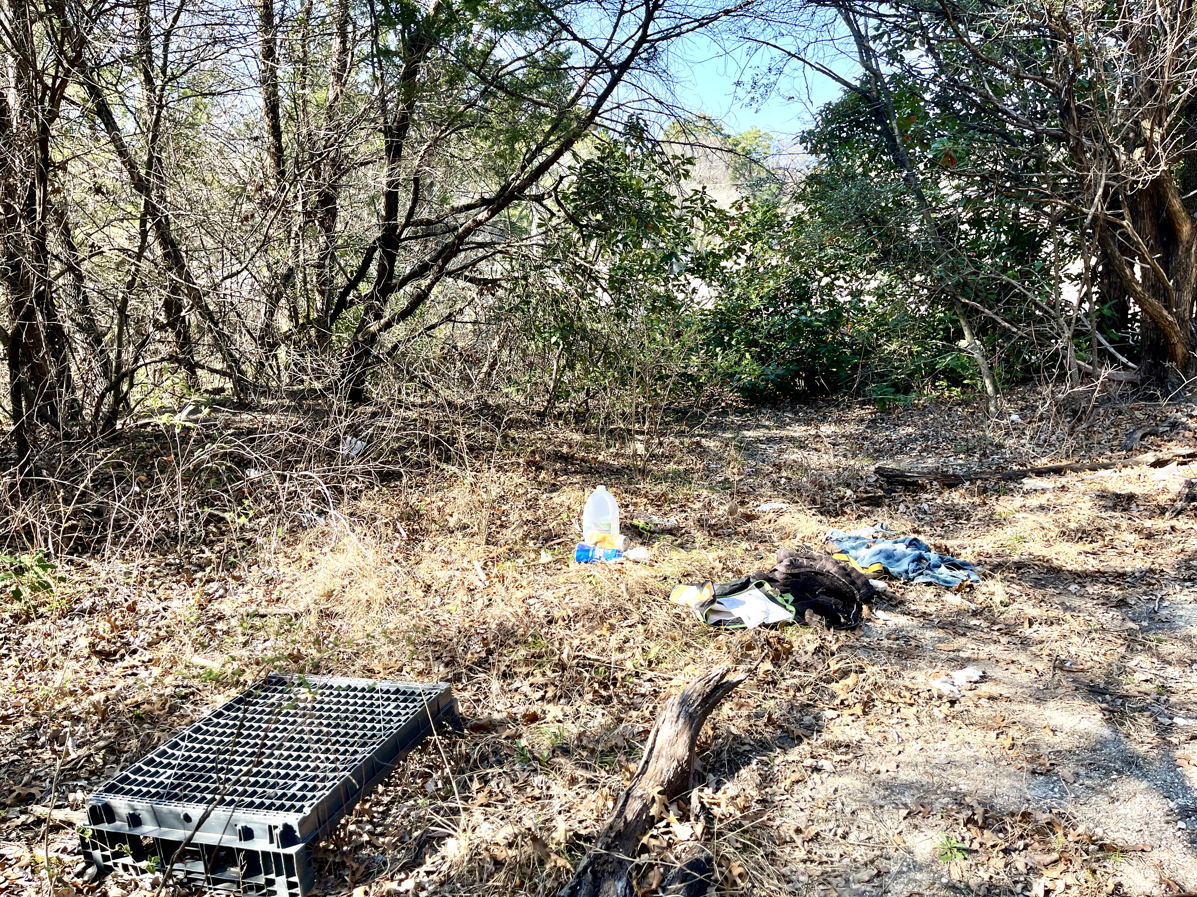
Close to the Scyene ascent was the mess left by a small, now-abandoned encampment and meth-party site. Oy! It got larger over the summer. Ugh. Thanks to Sarah, we had lots of large trash bags. We stuffed the bags with clothes, bottles, and other weird stuff, and hauled them along with a large crate and small rolling suitcase to Scyene for Parks to pick up.
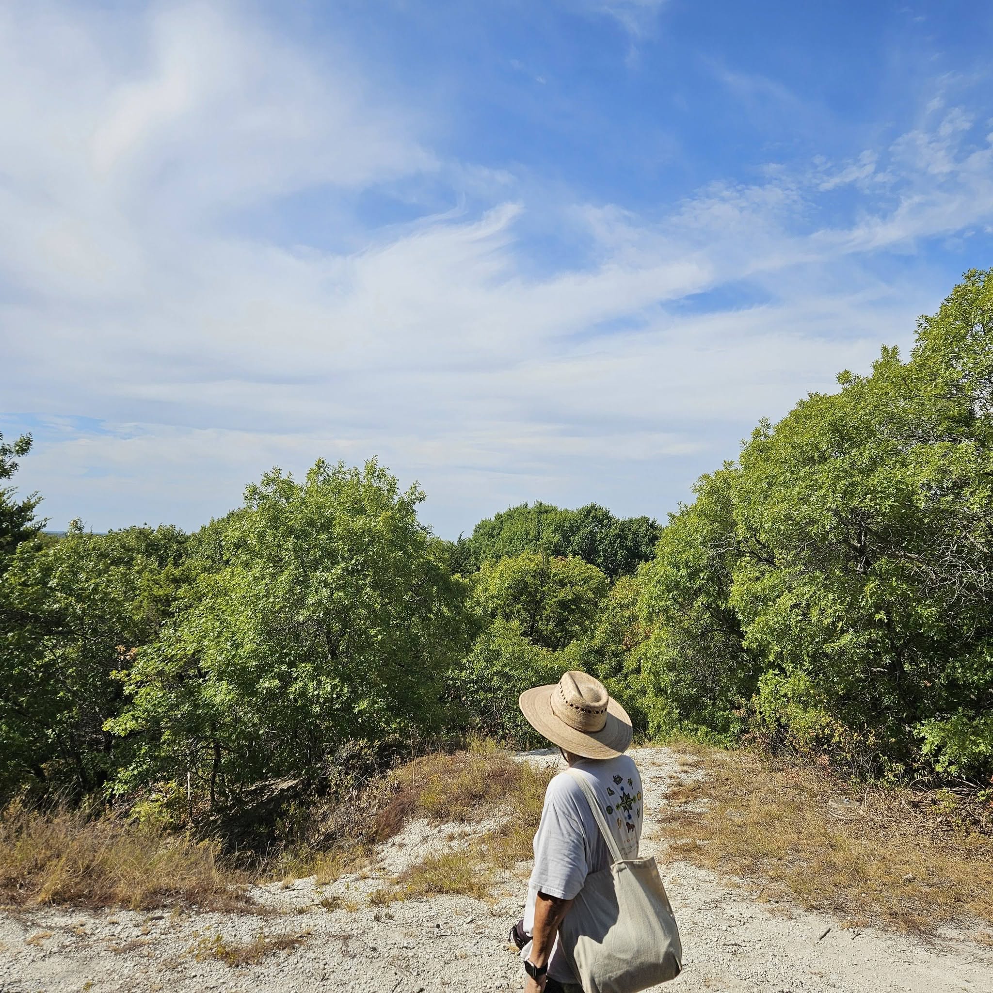
By this point in the morning, it was hot work. We made a vow to come back at some point and fetch a shopping cart that had rolled down the slope into the woods. The cooling breeze at the overlook afterward sure felt good.
A Large Advance in Piedmont Wayfinding Signs
Some of the team had already headed back, and others needed to go but, being new to the area, weren’t sure they could find their way. So the group split up so those needing to get back quick could do so.
Alas, the stragglers left behind got lost! I was able to guide them back by exchanging texts. They were so hot and tired! Trail leaders should never leave anyone behind. I felt terrible.
So I’m very excited that Lauren from the trail app Sweep offered to buff up their Piedmont Ridge part of Sweep and create a QR code for it! We’ll put that QR code on our (and possibly WRBT’s) wayfinding signs. That will lead to the app’s Piedmont Trails section. Being a live GPS app, folks will be able to see exactly where they are. No more getting lost!

Download Sweep here. The app covers parks all over Texas. So grateful to Sweep for the offer. This super advance makes me glad I’d been running behind on the wayfinding signs. They will be so much better now!